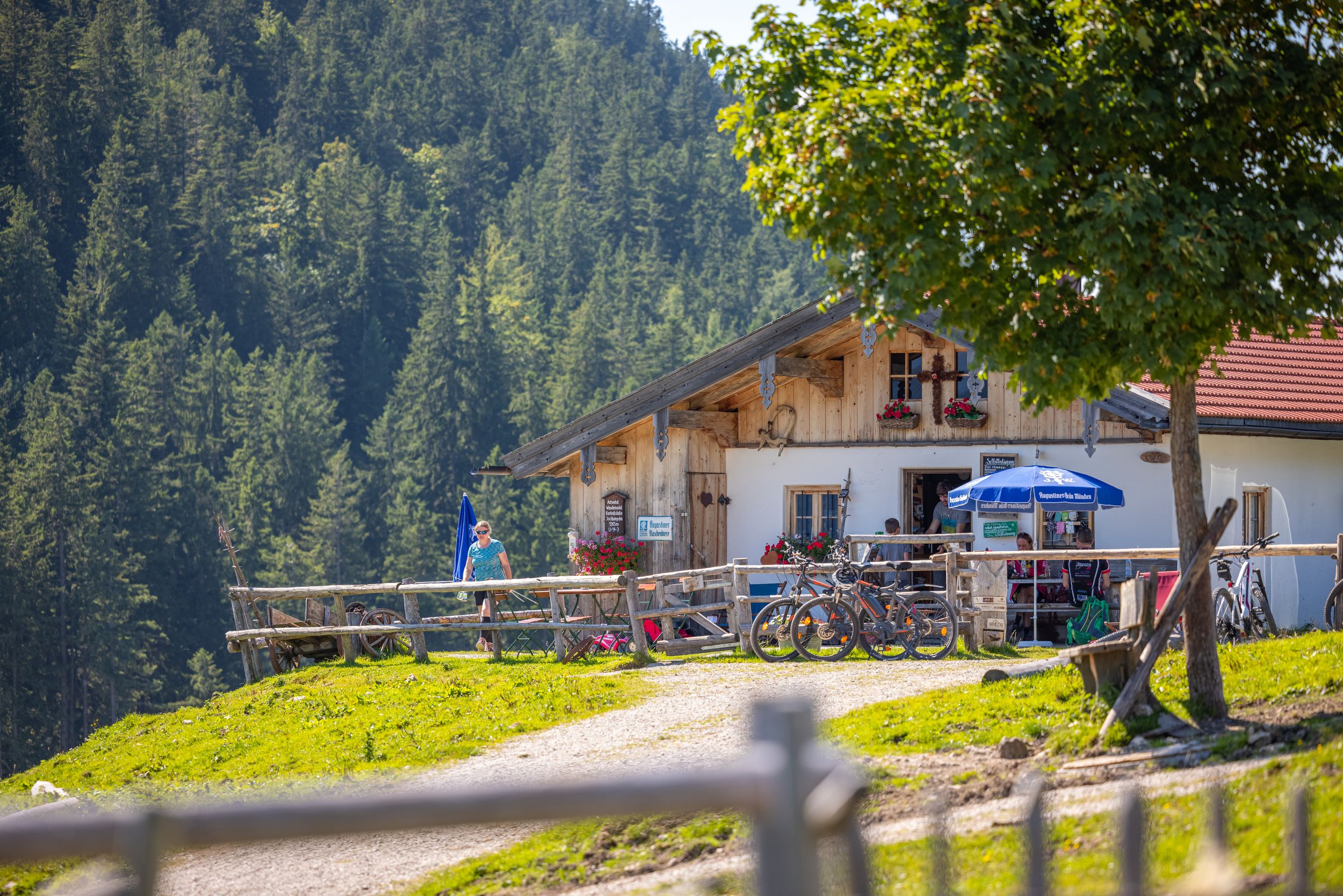
Via Burgaualm, Rechenbergalm to Jochbergalm. Enjoyable tour above the Achental.


Via Burgaualm, Rechenbergalm to Jochbergalm. Enjoyable tour above the Achental.
Tour description:
Hammerergraben car park - Burgaualm - Rechenbergalm - Rechenberg - Jochbergalm. From the hiking car park, go left for a short distance along the edge of the forest. Soon you will come to the ascent to the Burgaualm on the right. Follow the signs for Rechenbergalm via Burgaualm. Path no. 7 leads you up to the Burgaualm in wide serpentines. Follow path no. 7 up through an alpine meadow towards Rechenbergalm. At a fork in the road, follow the path to the right through a short stretch of forest until you reach the forest road from Unterwössen. Here you turn right and soon reach the Rechenbergalm. After a short rest, go left up across the alpine meadow to the Rechenberg. At the large Rechenberg you can not only enjoy the fantastic view, but also watch paragliders take off. Once you have reached the top, keep right and follow the path to the Jochbergalm. After a snack on the mountain pasture, we follow the signs to Unterwössen via Widholzalm (No. 54) and follow the path around the Rechenberg until we reach the intersection with path No. 7. Here we follow the signs towards Burgaualm and then Oberwössen. This brings us back to our car park at Hammerergraben. Refreshment options: Rechenbergalm, Jochbergalm (please note the opening times)
Responsible for the content: Achental Tourismus gKU