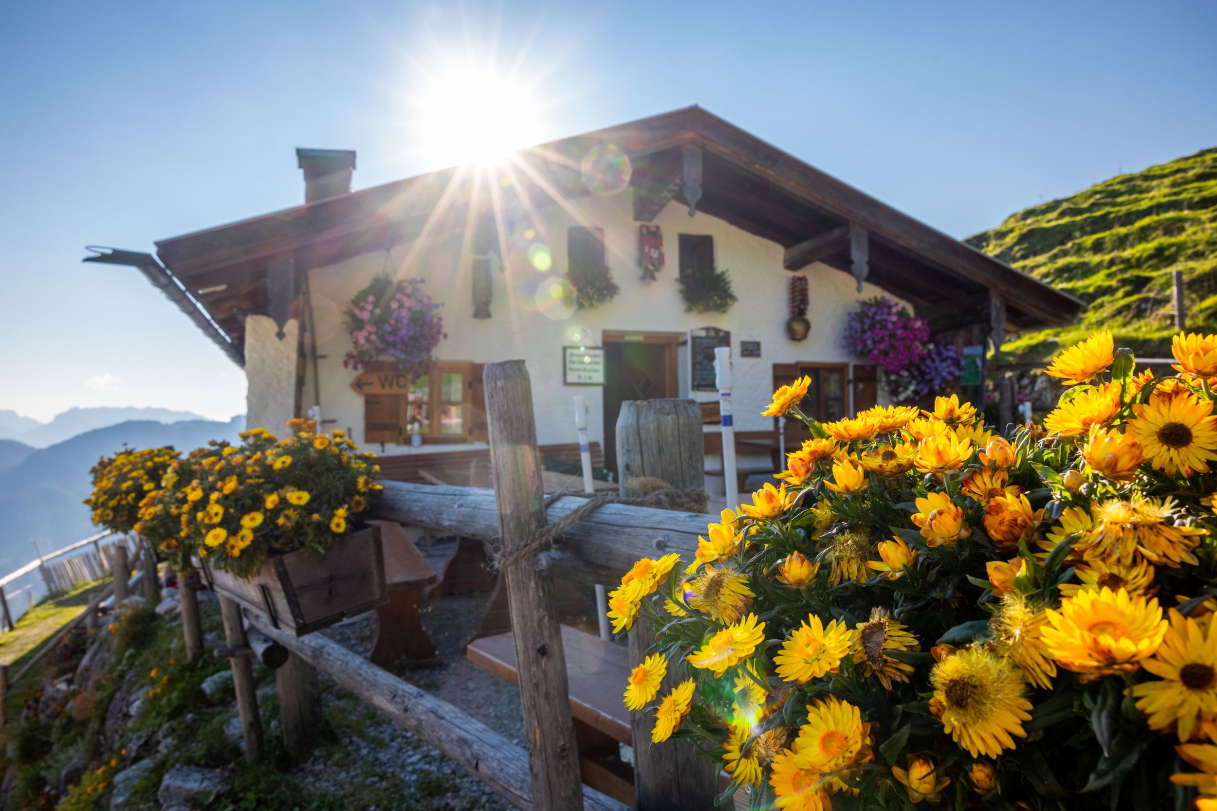
Wonderful alpine hike over the Feldlahnalm and the Burgaualmen up to the Rechenbergalm near Oberwössen.


Wonderful alpine hike over the Feldlahnalm and the Burgaualmen up to the Rechenbergalm near Oberwössen.
Tour description:
At 1.160 meters, the Rechenbergalm is perched high above the Achental. A wonderful alpine hike leads from the Hammerergraben hiking car park in Oberwössen up to the Rechenbergalm. First, we hike through the idyllic Hammerergraben (path no. 75) with its numerous small watercourses to the family-friendly Feldlahnalm. If you want, you can take a first break here. A small path below the alpine pasture takes us to a forest road. Follow this to the left until just before the Burgau-Almen (path no. 77). Now hike right across the alpine meadows up into the mountain forest (path no. 7). Follow the steadily rising forest road to the right to the Rechenbergalm. The rustic alpine pasture on the south side of the Rechenberg is perched high above the Achental in a panoramic location. From the terrace decorated with flowers, there is a wonderful view of Oberwössen, the Hörndlwand and as far as the Kaiser Mountains. In addition to this view, hikers can reward themselves for the climb to the Rechenbergalm with a traditional snack before heading back. To do this, follow the ascent path to the Burgaualmen. Then turn right and follow hiking trail no. 7 to the starting point in Oberwössen. Refreshment options: Feldlahnalm; Rechenbergalm (typical alpine snacks and/or cakes; please note the individual alpine pasture opening times)
Responsible for the content: Achental Tourismus gKU