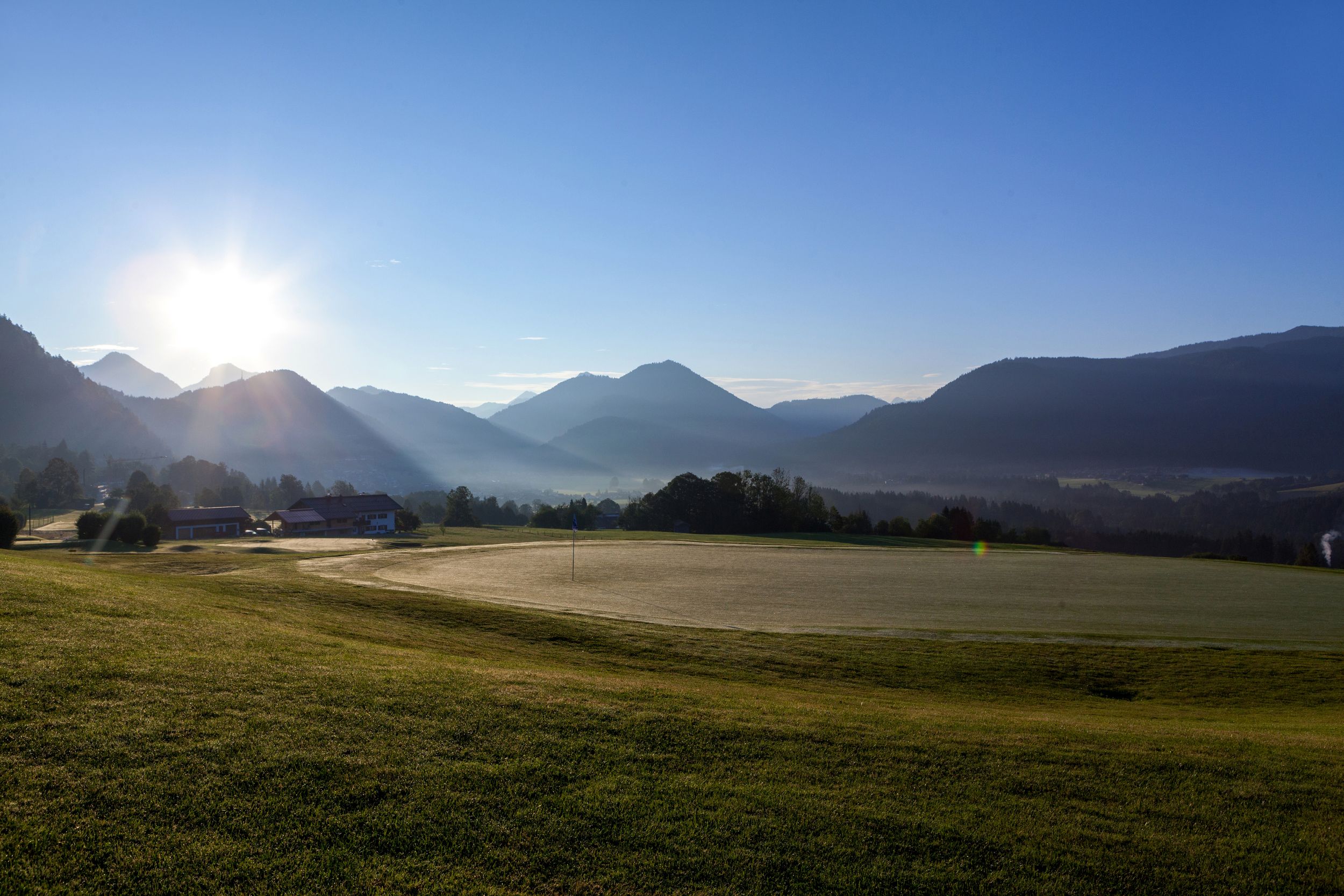
A leisurely hike with a great view of the Kaiser Mountains and the surrounding mountains.


A leisurely hike with a great view of the Kaiser Mountains and the surrounding mountains.
Tour description:
From the hikers' car park in Birnbach start in a westerly direction along the river to the "Embacher" farm. From here in the direction of Kössen and then to Peternhof-Moserberg to the golf course.
Continue to the "Kronbichler Chapel" and then along the golf course to Birnbach back to the starting point.
Great places to stop for food and drink.
Responsible for the content: Tourist Info Reit im Winkl
From Munich or Salzburg on the federal motorway Munich - Salzburg (A8 to Grabenstätt exit no. 109), continue towards Marquartstein and on the well-developed German Alpine Road (B305) to Reit im Winkl.
Turn through the village at the Skihütte sports shop into Birnbacherstraße. Follow this road to Birnbach. Parking: - Birnbacherstraße 42 A, 83242 Reit im Winkl.
From Munich or Innsbruck on the federal autobahn Rosenheim - Innsbruck (A93) to Oberaudorf (exit no. 59). Continue to Walchsee, Kössen and Reit im Winkl. In the village, turn into Birnbacherstraße at the Skihütte sports shop. Follow this road to Birnbach.
Connections to Reit im Winkl from Prien am Chiemsee train station (best bus connection!!). With the RVVO bus line 9506. Stop directly at the tourist information.
Connections to Reit im Winkl from Ruhpolding train station with the RVO line 9506. Stop directly at the Tourist Info.