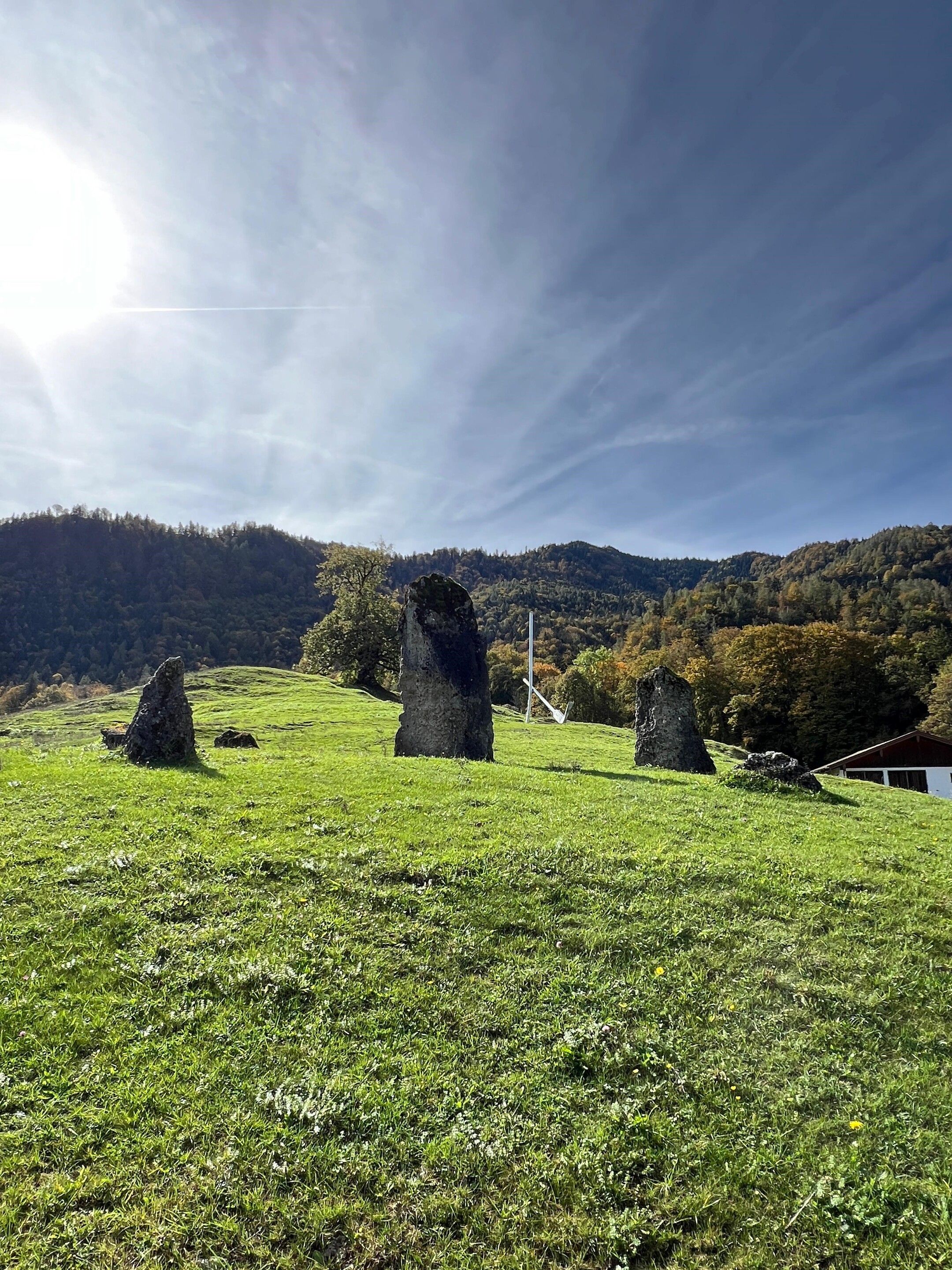
Kruchenhauser Runde and via Balsberg to Chiemseeblick.


Kruchenhauser Runde and via Balsberg to Chiemseeblick.
Tour description:
Balsberg car park - Balsberg - Chiemseeblick - Kruchenhausen - Balsberg car park. We start this hike from the car park in Garbmühle on path no. 91 past the Balsberg up a wide forest path to the Chiemseeblick. The climb is rewarded with a view over the Achental to the Chiemsee. Now we hike back until path no. 97 branches off to the right and the Kruchenhausen circular trail begins. We follow this path along the edge of the forest and soon come to the Kruchenhauser Landstraße, which takes us back to the car park.
Responsible for the content: Achental Tourismus gKU