Beautiful circular trail along the refreshing Dalsenbach to the Dalsenalmen.
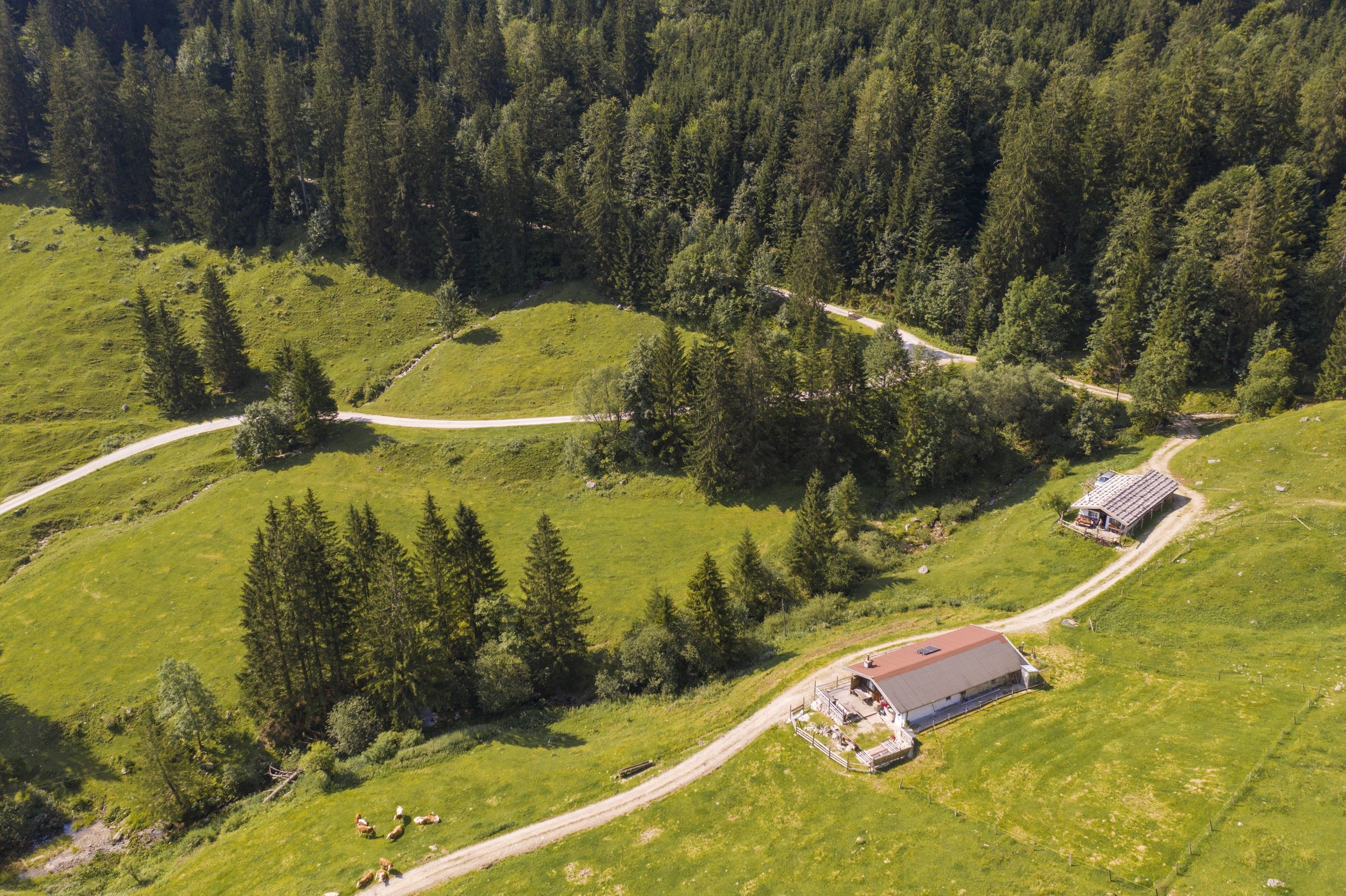
Dalsen-Alm
hiking tour- Starting point Dalsen parking lot Mühlau
- Location Schleching
- distance 9.4 kilometres
- duration 03:40 hours
- maximum altitude 1025 meters
- minimum altitude 593 meters
- altitude difference 468 ascending
- altitude difference 468 descending
Tour description:
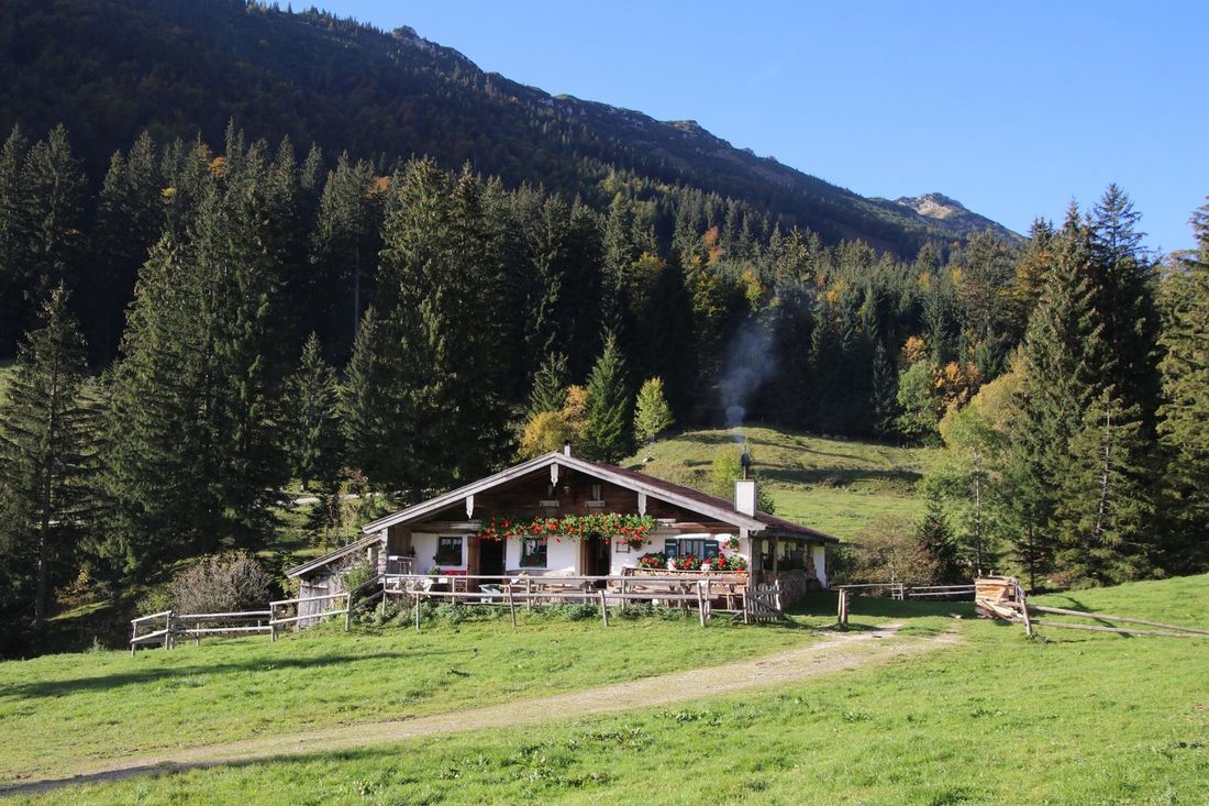
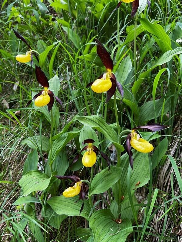
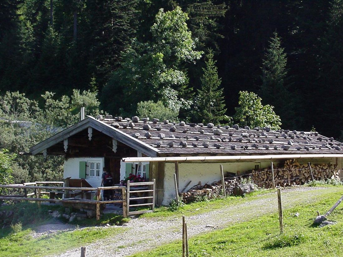
Alpine circular trail. Refreshment options: Vordere Dalsenalm (Huber-Kaser) (*); Wuhrsteinhaus (*) - typical alpine snack during the alpine grazing season. Special features: catered cyclists' table for all cyclists and hikers - every Tuesday evening in summer at Dalsenalm; "Ochsensprung" and "Floderer": waterfalls; for eagle eyes - lady's slipper orchids along the path. Description: From the Dalsen hiking car park, the forest road leads along the Dalsenbach in the direction of Dalsenalmen. After 2 km, there is a deep cut on the left side of the path with a 15 m high waterfall, the so-called "Ochsensprung" (an ox once fell into the depths during the cattle drive). At the turnoff to the right to Steinbergalm/Kampenwand, you can see the Wetterstein limestone reef of the Kampenwand. However, you continue straight on to the Dalsenalm and after a quarter of an hour you will see the cascades of the "Floderer" on the left - a 49 m high waterfall - the legend says that the "Floderermandl", a "horrible ghost" lives at the source, which terrifies children in particular. Shortly afterwards, the wonderful alpine pasture area of the Dalsen comes into view. It is divided into two parts, the Vorderdalsenalm and the Hinterdalsenalm, which are 15 minutes apart. Dalsen is a Romanesque name for mountain saddle. To the right you go to the alpine huts (Kaser) of the Vorderen Dalsenalm. After a refreshment at the "Huber-Kaser", you can take the same route back home, or you can walk past the "Feichten-Kaser" and the "Biache-Kaser" over the Dalsenbach. After about 10 minutes the path forks. On the right, the forest path leads to the Hinterdalsenalm, on the left, the so-called "Schattseit-Weg" leads down towards Mühlau to the starting point. After the hike and on the direct way home, not far from the hikers' car park, you can stop for a break at the Wuhrsteinhaus. Achental hiking pin checkpoints: Vordere Dalsenalm (Huber-Kaser)
Recommended months for this tour
- January
- February
- March
- April
- May
- June
- July
- August
- September
- October
- November
- December
Downloads
- Tour as a PDF file (PDF)
- Tour as a KML file (KML)
- Tour as a GPX file (GPX)
Responsible for the content: Achental Tourismus gKU
