River and moor hike through the Achental


River and moor hike through the Achental
Tour description:
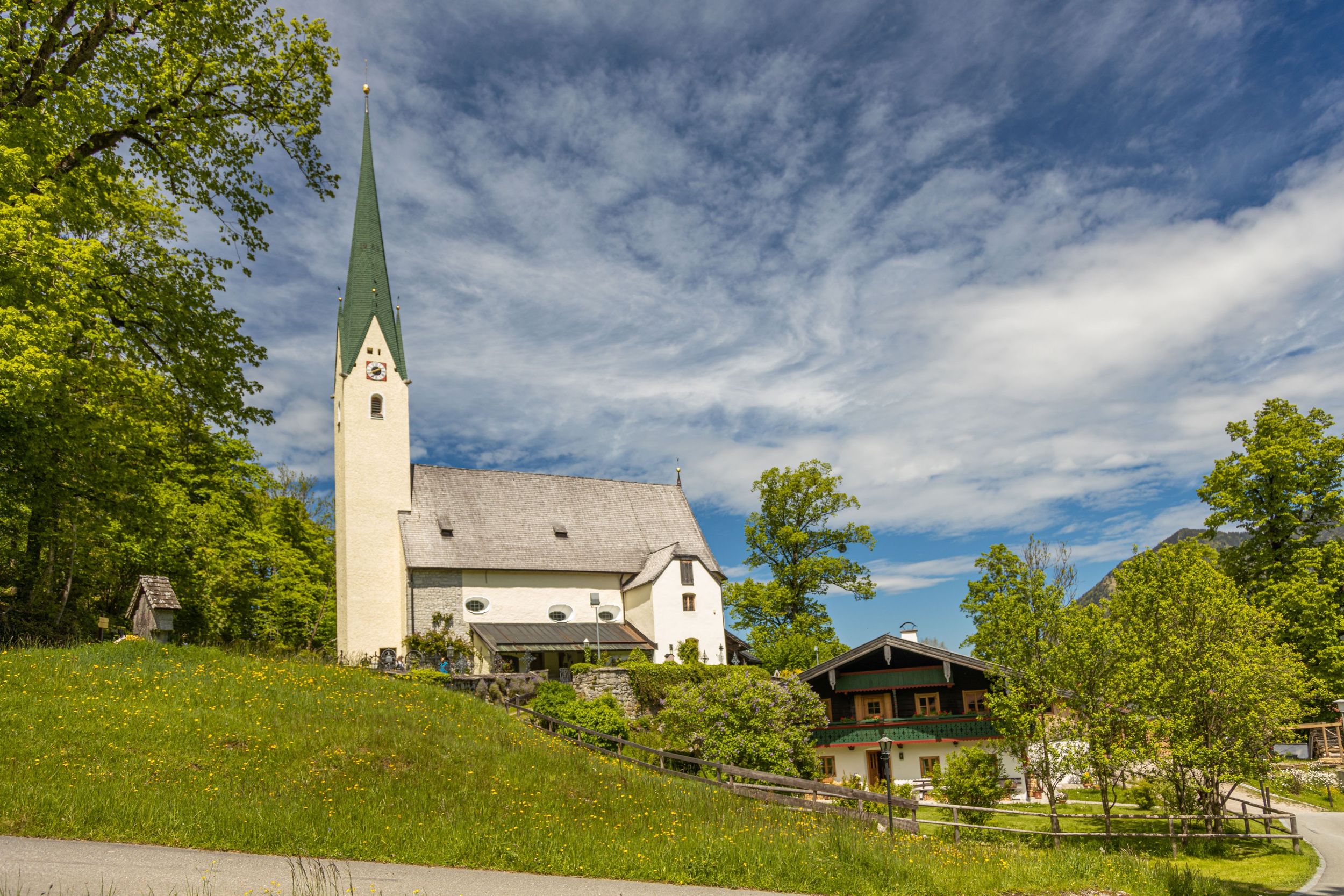
The starting point of the tour is the town hall in Marquartstein. We start in the direction of Bahnhofstrasse, where we walk a few meters on the footpath towards Schleching. Shortly before the new traffic island at Wuhrbichl we turn right and follow the road past houses, which turns into a path. We follow this path to the intersection, where we turn left towards Oed. From Oed the path goes along the edge of the forest to Holzen, where we then follow the sign towards Donau. We pass the "Lanzinger Moos" nature reserve and reach Donau. At the end of Donau we turn left along the road and immediately right again, following the sign towards Raiten and then walk along the Tiroler Ache. At the next bridge we cross the road, continue straight on next to the Tiroler Ache and past open meadows that serve as retention basins in the event of flooding. In the forest we turn left and continue the hike next to the Tiroler Ache towards Schleching on the Achendammweg. The path becomes increasingly narrower and goes uphill until we reach the highest point, where surefootedness is required for a few meters. A rope helps us to cross this point, before a few steps take us back to the Ache. Shortly after a wooden bridge over the stream, we turn left again onto the forest path along the Tiroler Ache until we reach the mouth of the Mühlbach, where we turn right towards Mühlau and arrive at the car park. Now we go right towards Raiten and past a moorland area, the "Mettenhamer Filz". Open spaces alternate with forest left to nature. Right at the start of Raiten we go left uphill to the pilgrimage church of the seven linden trees and past this in the direction of Hinterraiten. We come to the Engerait/Emperbichlstraße junction, go right downhill and continue our hike along the main road towards Marquartstein via Süssen and then to Holzen. We should interrupt the hike at the chapel, which was dedicated to St. Wolfgang, to take a worthwhile look inside. At the next signpost, we turn right towards Holzen. Shortly before Holzen, we turn left towards Dicking and at Minaruh it is worth spending a few minutes on the bench. We then continue right towards Marquartstein (without Wuhrbichl). After a few meters, we turn left towards Streunthal, walk past the hut and farm until we reach Lanzinger Strasse. Here we cross the street and walk along the footpath towards the church and then to our starting point at the town hall in Marquartstein. Refreshment options: Raitner Wirt (Raiten), Bonbon und Keksi (Mettenham) (please note the opening times).
Responsible for the content: Achental Tourismus gKU