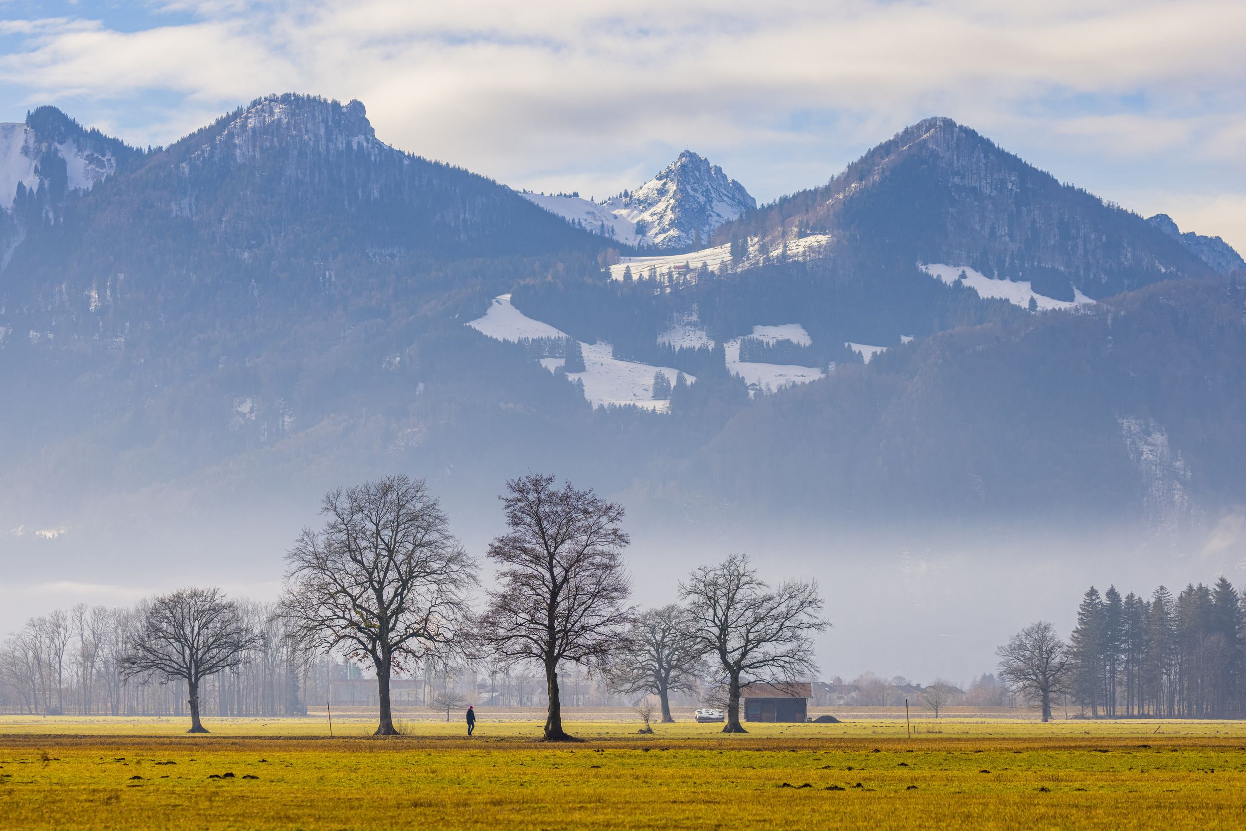
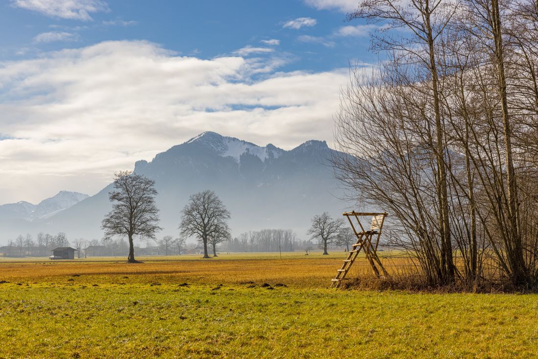
Leisurely walk through meadows and fields.

From Marquartstein to Grassau and back
hiking tour- Starting point Town Hall Square Marquartstein
- Location Marquartstein
- distance 5.9 kilometres
- duration 01:30 hours
- maximum altitude 546 meters
- minimum altitude 536 meters
- altitude difference 10 ascending
- altitude difference 11 descending
Tour description:
Pass the Catholic church and continue along Loitshauser Strasse (850 m in total) until Kreuzstrasse joins in from the right (bench with field cross). The narrow path through the meadow begins here. Soon after, the connecting road between Piesenhausen and Grassau is crossed and the path continues between the meadows to Grassau. When you reach Rottauer Strasse, the path continues for about 250 m and then turns left in front of the Holzhammer household goods store into Oberdorf. The path now leads to the fork in the road on the southwestern edge of the village and joins path no. 2. Follow this south to Aschafeldstrasse to Piesenhausen. From here, return via Dorfstrasse and Loitshauser Strasse.
Recommended months for this tour
- January
- February
- March
- April
- May
- June
- July
- August
- September
- October
- November
- December
Downloads
- Tour as a PDF file (PDF)
- Tour as a GPX file (GPX)
- Tour as a KML file (KML)
Responsible for the content: Achental Tourismus gKU
Arrival by car
A8 Munich-Salzburg to the Bernau exit, then continue on the B305 to Marquartstein. There is a large car park right next to Marquartstein town hall, and another just a few metres away on Staudacher Strasse. Parking is free in both.
Arrival by public transport
The stop for the RVO bus lines 9505 (Prien-Reit im Winkl) and 9509 (Traunstein-Reit im Winkl) is directly at Marquartstein town hall.

