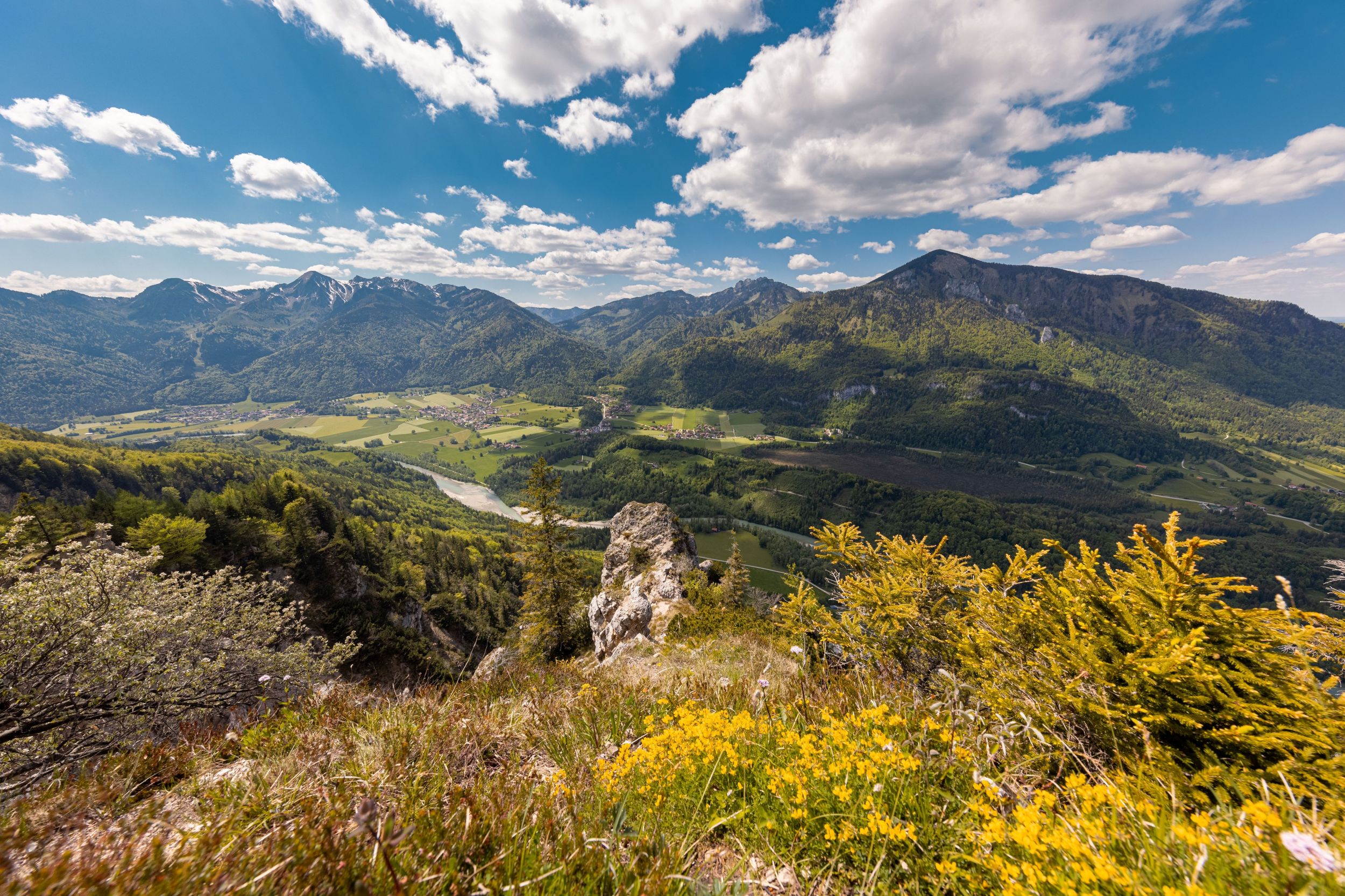
Beautiful circular tour with interesting views and the experience of watching the planes take off and land at the glider airfield.


Beautiful circular tour with interesting views and the experience of watching the planes take off and land at the glider airfield.
Tour description:
Balsberg car park - Balsberg - Gscheuerwand - Achberg - Gliding airfield - Balsberg car park. From the car park, take path no. 91 towards Balsberg and Chiemseeblick. At the following junctions, always keep left on path no. 91. Shortly before you reach the Chiemseeblick, a path (path no. 94) branches off to the left to the Gscheuerwand. This section of the path is the most difficult of the hike. You need to be sure-footed here. Once you reach the Gscheuerwand, you can enjoy a panoramic view deep into the Achental. Continue on path no. 94, which meanders slowly down to Achberg. Once you arrive in Achberg, take path no. 15, which takes you right along the Tiroler Ache to the gliding airfield. At the end of the gliding airfield, turn right and you will soon be back at your starting point. Watch the gliders take off and land at the gliding airfield. Refreshments: Flieger Alm at the gliding airfield (please note the opening times)
Responsible for the content: Achental Tourismus gKU