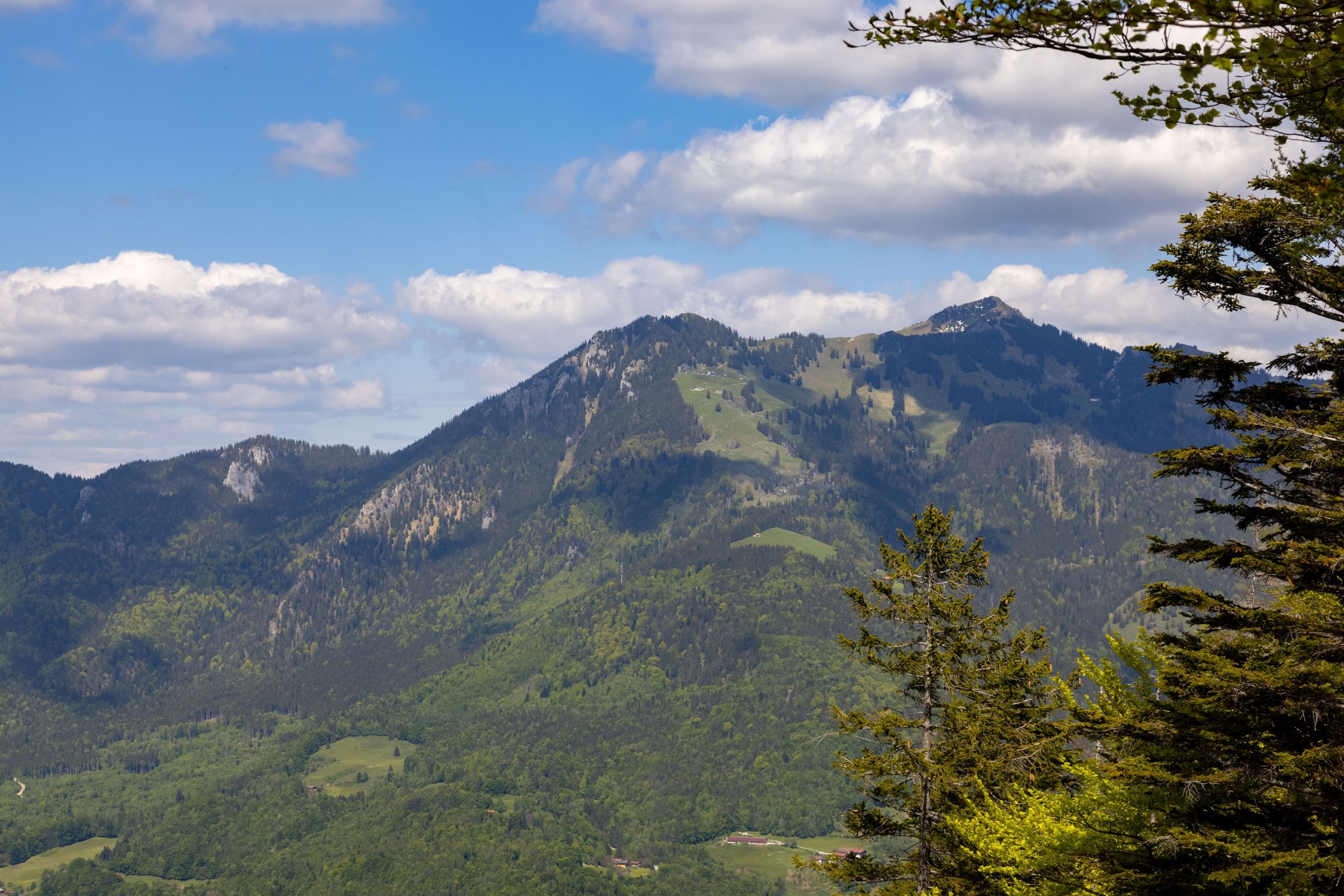
Beautiful, sporty hike to Hochgern via Schnappenkirche, descent via Hochgernhaus


Beautiful, sporty hike to Hochgern via Schnappenkirche, descent via Hochgernhaus
Tour description:
From the Marquartstein town hall square, we go over the traffic lights to the village square and then past the village fountain across the village square. The statue on the fountain shows the builder of Marquartstein Castle, Knight Marquart von Hohenstein. At the end of the village square, we turn left over a historic arched bridge spanning the Tiroler Ache. We turn right into Alte Dorfstrasse and continue straight up Burgstrasse in the right-hand bend that follows. From the hiking car park, we follow the sign towards Schnappenkirche on a forest path, after 200 meters turn left onto the forest road and then after another 200 meters turn left at the "Fütterung" into Schnappenweg. Along this path, we come to a junction that leads left to Windeck, but we continue the hike on the path to Schnappenkirche. At Scherbenstein, the path makes a steep left turn. The comfortable, constantly slightly ascending path soon emerges from the forest and we can already enjoy the view of the upper Achental and the Chiemgau mountains. Below the Predigtstein, the path mostly leads back through the forest to the historic Schnappenkirche. Shortly before the Schnappenkirche, a sign points to the destination Hochgern and Staudacher Alm and we reach the Alm, which offers traditional alpine hospitality, in about 30 minutes. The route continues on a sweaty steep climb in bends to the Hochgernsattel and then to the left to the summit. From the summit, we can see the Chiemsee and the entire Chiemgau. To return to the starting point, however, we use a different route via the Hochgernhaus, then downhill via the Agersgschwendt Alm, hiking car park to the town hall.
Responsible for the content: Achental Tourismus gKU