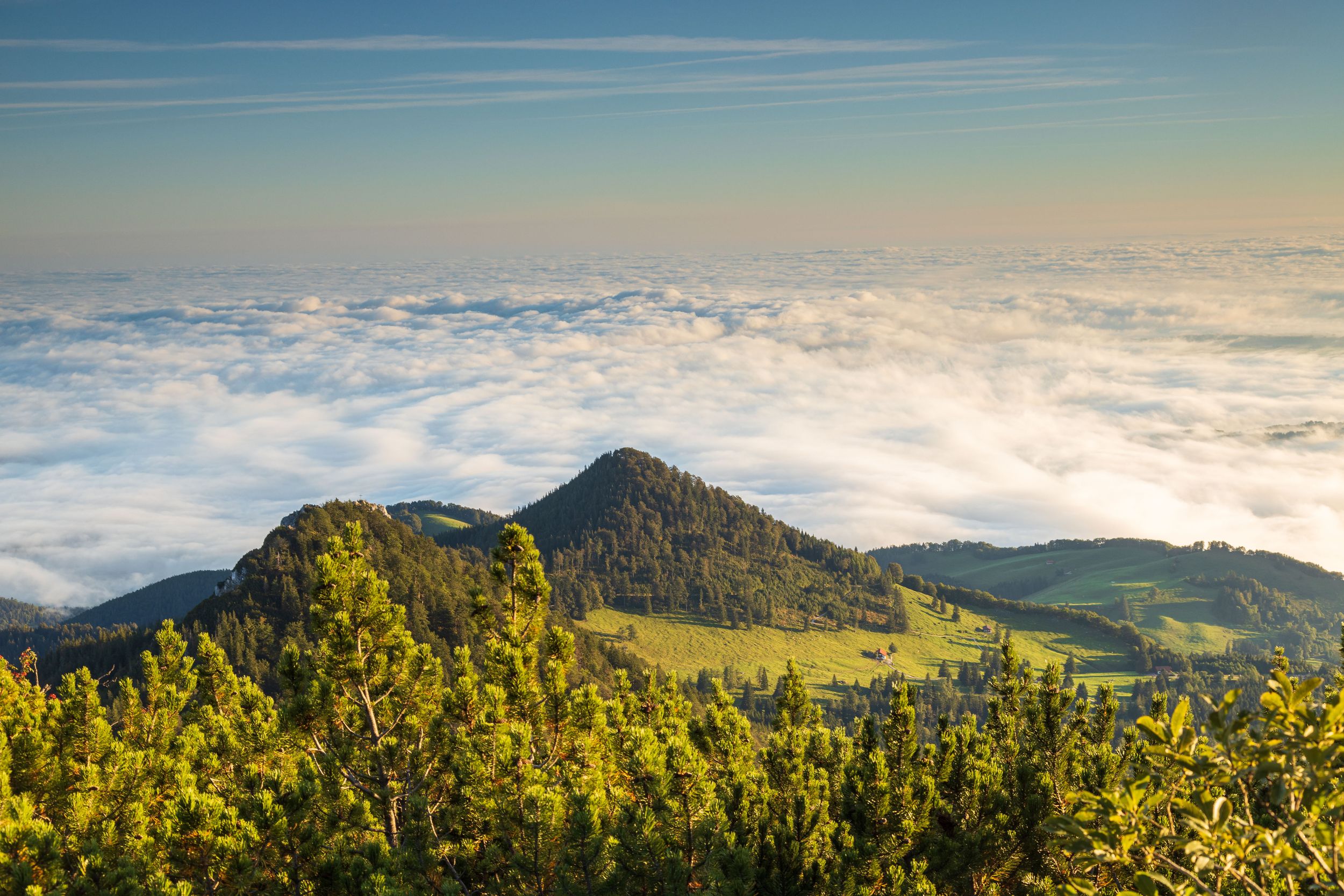
Hike up the high plateau to the panoramic summit of the mountain!


Hike up the high plateau to the panoramic summit of the mountain!
Tour description:
Mühlau - Ramsental - Ramsensteig - Hochplatte summit - Piesenhausener Hochalm - Mühlau
Starting from the Dalsen car park in Mühlau, follow a piece of the forest road until it forks. Here you turn right in the direction of “ Hochplatte ” and walk uphill on the tarred road. At the end of the street keep to the left and walk towards an enclosure towards the forest .
The footpath leads us to a wide forest road , on which we turn briefly to the right, only to leave it on the left after only a few meters. The now steeper path leads to a beautiful alpine pasture which we pass on the right. The footpath, marked by red markings , runs through a light forest up to a ridge . On the Waldsattel you will come across a sign. However, you do not follow this in the direction of “ Hochplatte ”, but go straight up the unmarked path. The path is marked with a blue point and is the direct ascent to the high plateau . Thanks to the steep ascent, you soon reach the summit of the high plateau, which rewards every hiker with a unique view.
Then you descend the wide path towards "Chiemsee" , which ends on an alpine road. After a left turn, this leads in the direction of “Piesenhauser Hochalm” .
After a short descent, turn left and follow the signs to “Mühlau” from here. You go over narrow footpaths to a flat forest saddle until the well-known path is.