Inzell SalzAlpenSteig Stage 6

Inzell SalzAlpenSteig Etappe6
hiking tour- Starting point melting
- Location incell
- distance 22.0 kilometres
- duration 06:00 hours
- maximum altitude 776 meters
- minimum altitude 471 meters
- altitude difference 343 ascending
- altitude difference 620 descending
Tour description:
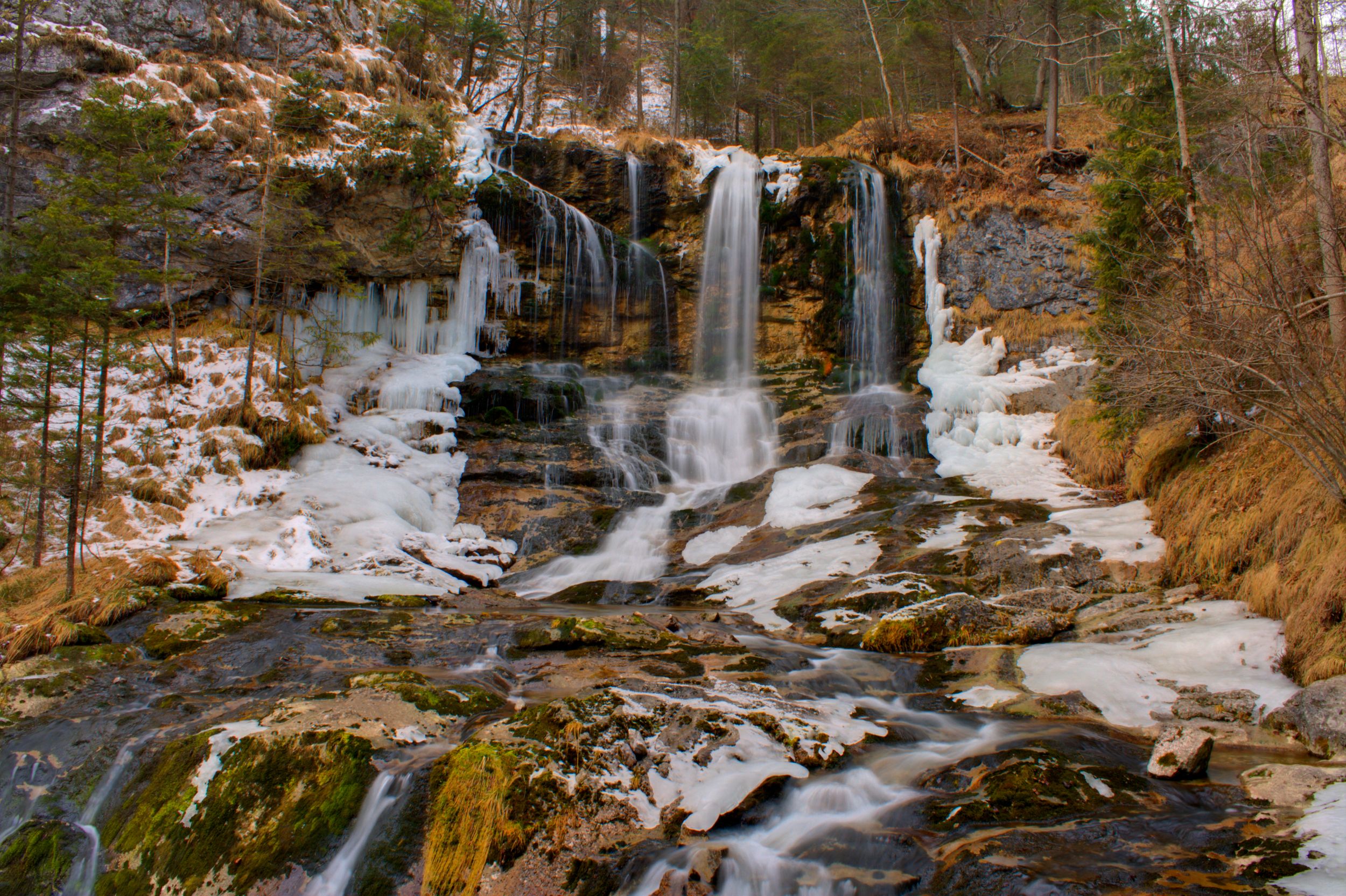
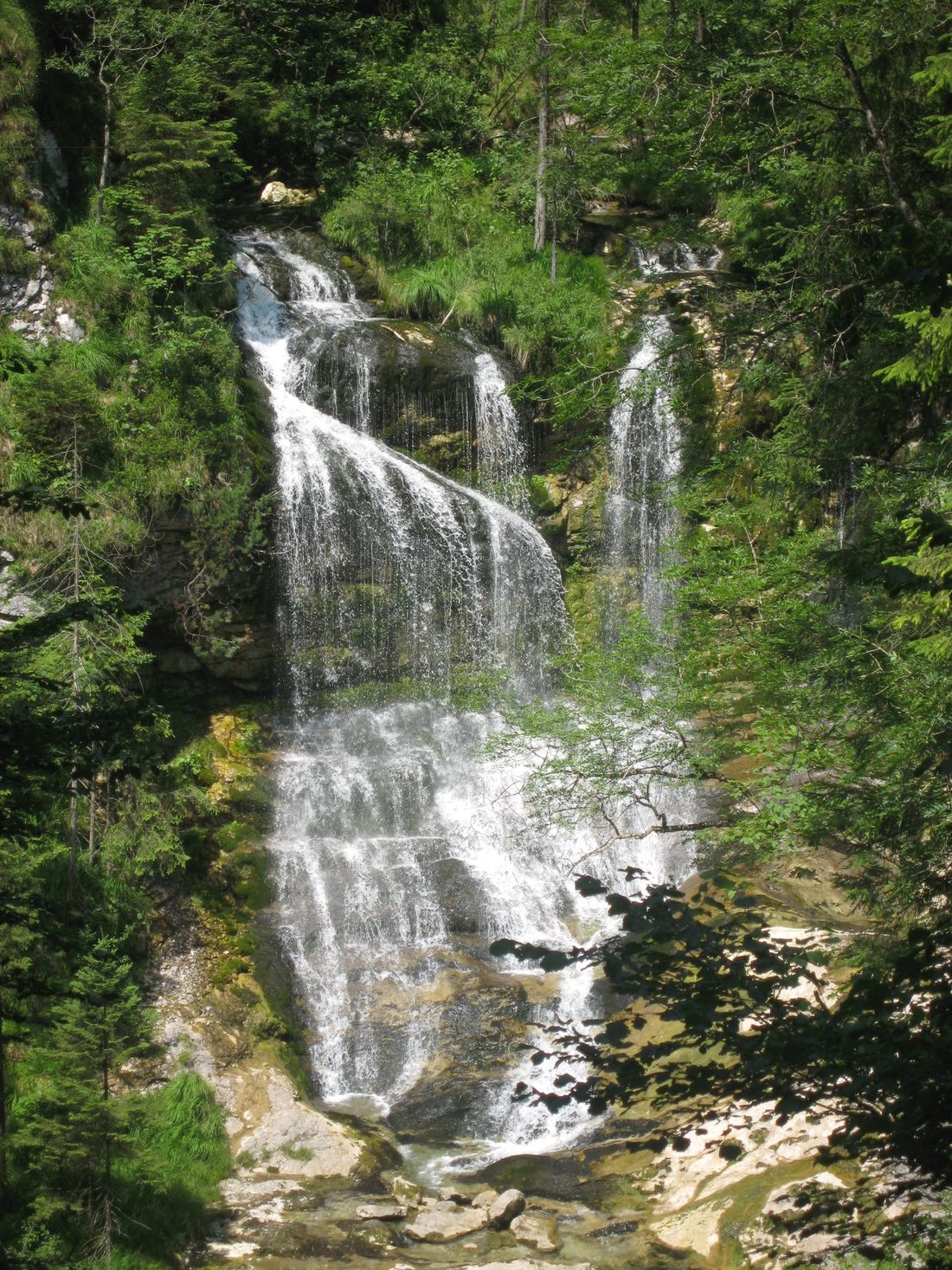
Route: starting point Schmelz. Crossing the hiking car park we pass the adventure playground and hike through the Wildenmoos around the Kienbergl. In Zwing we pass under the B305, turn right and walk along the Salinenweg to Weißbach. Here we cross the entire village and follow the course of the stream and the signs to the Weißbachschlucht. At the Mauthäusl we cross the B305 and continue to Höllenbachalm. From there the path leads us to Lake Thumsee. Now we follow the signs to the Predigtstuhl valley station and then in the direction of the town center to the old saltworks. Special features: A long but very varied tour without major climbs. It is often wet and slippery in the gorge. Refreshments: Weißbach, Mauthäusl, Thumsee
Recommended months for this tour
- January
- February
- March
- April
- May
- June
- July
- August
- September
- October
- November
- December
Downloads
- Tour as a PDF file (PDF)
- Tour as a KML file (KML)
- Tour as a GPX file (GPX)
Responsible for the content: Inzeller Touristik GmbH
