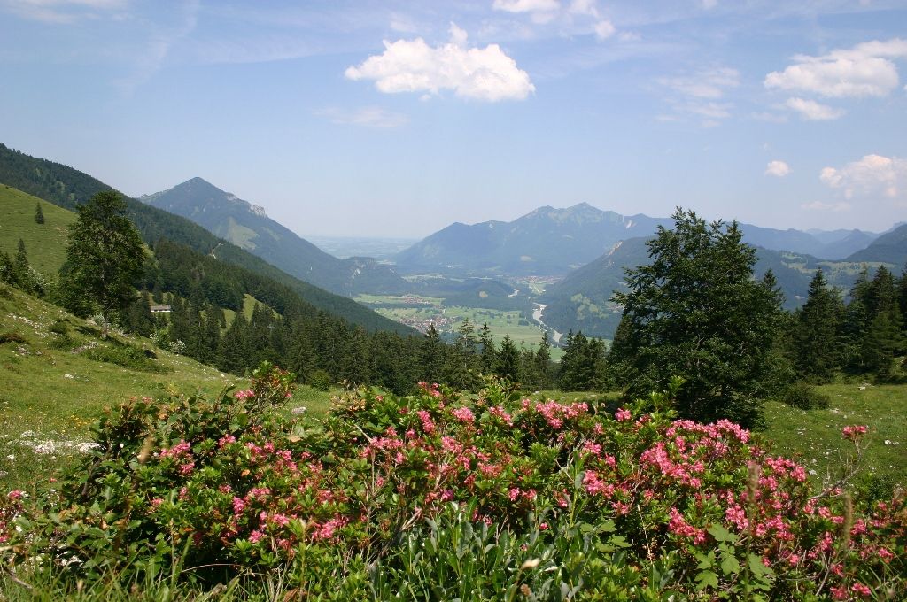
Hike from the Achental over beautiful alpine pastures to the Breitenstein summit and further into the Priental.
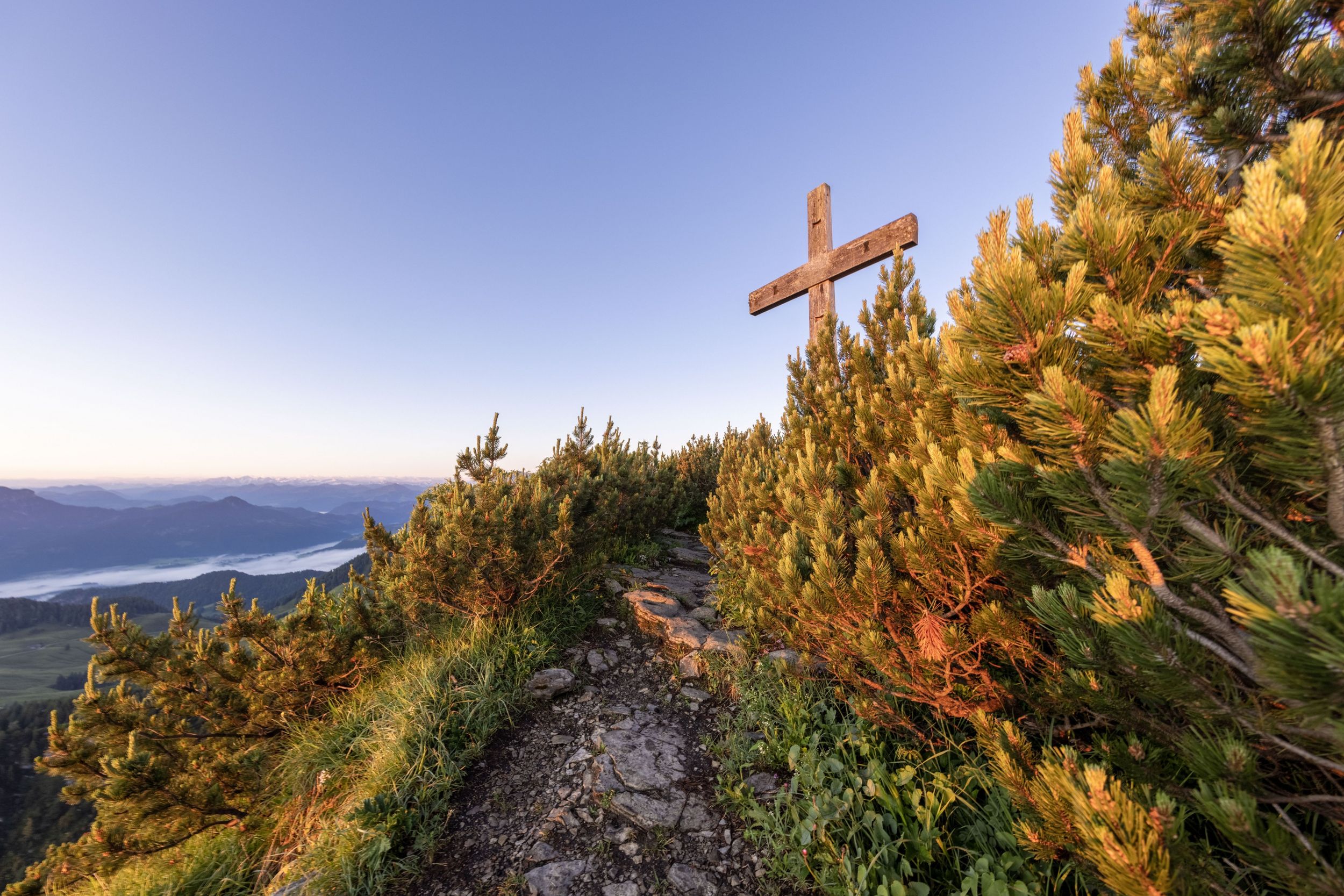
Breitenstein summit to Sachrang
hiking tour- Starting point Ettenhausen, Geigelstein car park
- Location Schleching
- distance 13.4 kilometres
- duration 06:00 hours
- maximum altitude 1659 meters
- minimum altitude 620 meters
- altitude difference 1059 ascending
- altitude difference 950 descending
Tour description:
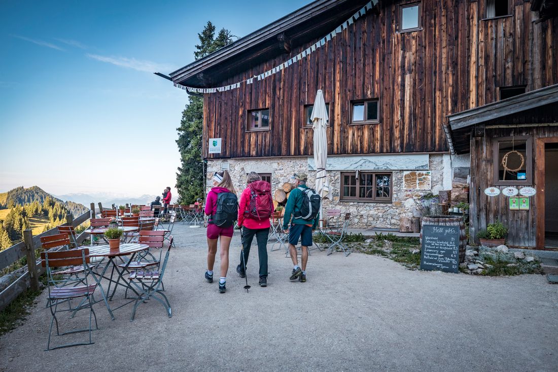
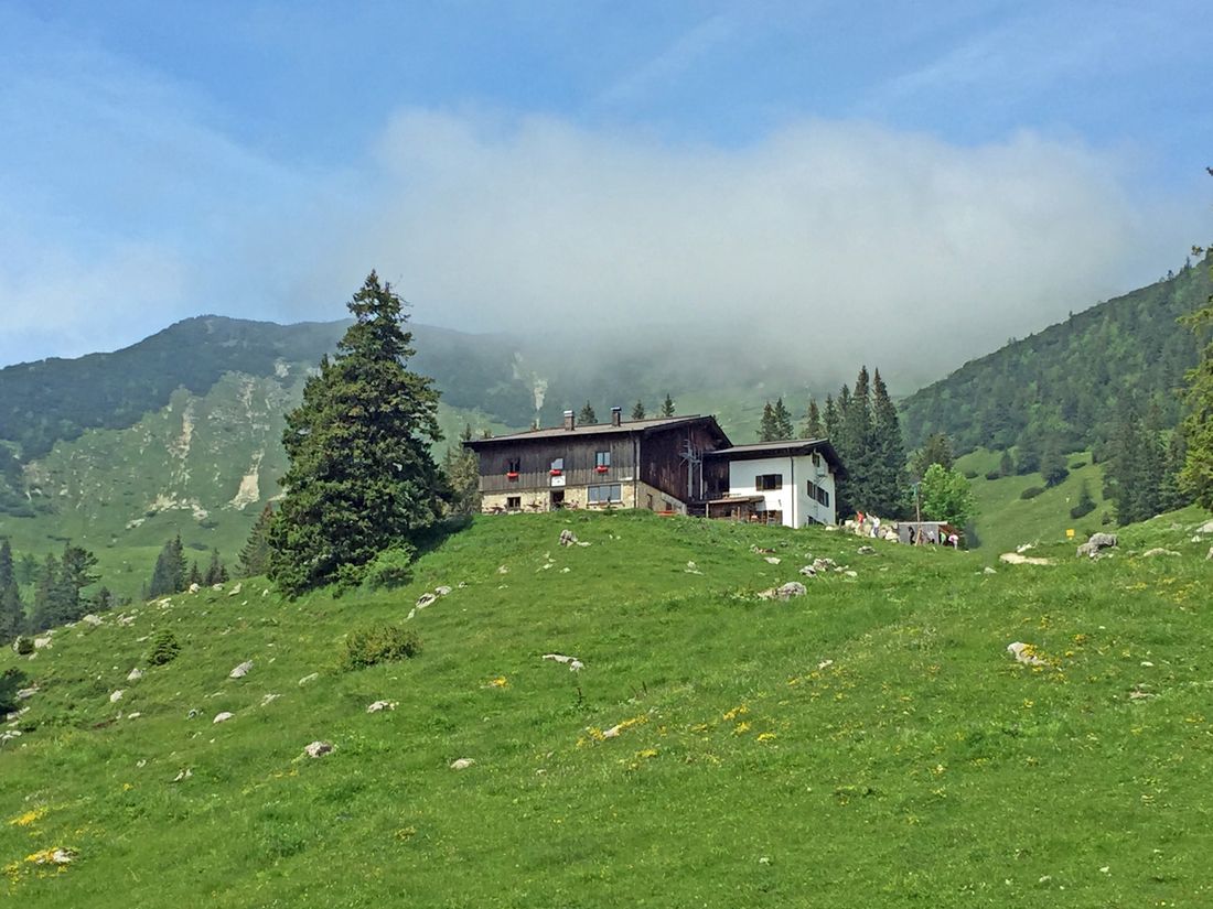
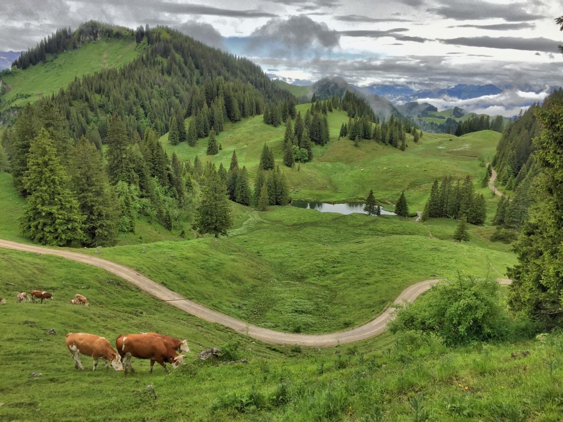
Summit hike Refreshment option: Priener Hütte (please note individual opening times) Achentaler hiking badge Checkpoints: Wuhrstein Alm; Special features: On request, overnight stays at the Priener Hütte (DAV Hütte) possible; Tip: Overnight stay at the Priener Hütte (including half board and extensive breakfast buffet) and the next morning before descending to Sachrang, climb the big brother of the Breitenstein, the Geigelstein; Description: The hike starts at the Geigelstein car park in Ettenhausen. From there, the forest path leads up to the Wuhrsteinalm. The hike continues through the beautiful alpine pasture area in Karl to the summit of the Breitenstein (1661m). The descent to Sachrang takes place via the Priener Hütte (serviced; overnight stays on request). From here, the following bus connections lead back to the Achental:https://www.dbregiobus-bayern.de
Recommended months for this tour
- January
- February
- March
- April
- May
- June
- July
- August
- September
- October
- November
- December
Downloads
- Tour as a PDF file (PDF)
- Tour as a KML file (KML)
- Tour as a GPX file (GPX)
Responsible for the content: Achental Tourismus gKU
