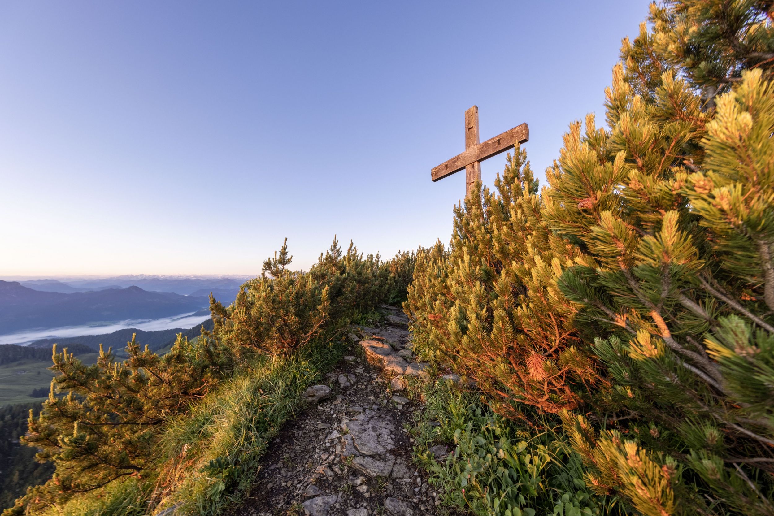
Geigelstein parking lot - Breitenstein via Karl - Walchsee


Geigelstein parking lot - Breitenstein via Karl - Walchsee
Tour description:
Summit tour. Achental hiking badge Checkpoints: Wuhrsteinalm, Karl; Special features: Karlalm alpine pasture, a paradise for the marmots that live there; chamois on the Breitenstein massif Tip: Pack your swimwear and cool off in Walchsee. Description: At the starting point, the Geigelstein car park in the Schleching district of Ettenhausen, we hike over the so-called "Karl" with the dilapidated Karlalm to the saddle on the Breitstein. Now we climb to the summit of the Breitenstein. On the descent to the destination of Walchsee, we pass through the beautiful Baumgartenalm alpine pasture and return to the valley via the Riederalm. From here, the following two bus connections lead back to Ettenhausen: The first connection goes from Walchsee to Kössen. There we change to the 9509 bus in the direction of Schleching at the VZ Kaiserwinkl stop in the center. After the twelve-minute drive we reach the destination stop in Ettenhausen. From there we walk the last ten minutes back to the starting point, the Geigelstein car park. First bus connection 4030 from (Kufstein) Walchsee to Kössen (Austria): Fahrplan-4030-Kufstein-Koessen-11.12.2022.pdf (k-mobil.eu) Second bus connection 9509 from Kössen to Schleching (cross-border Ö - D): www.dbregiobus-bayern.de
Responsible for the content: Achental Tourismus gKU