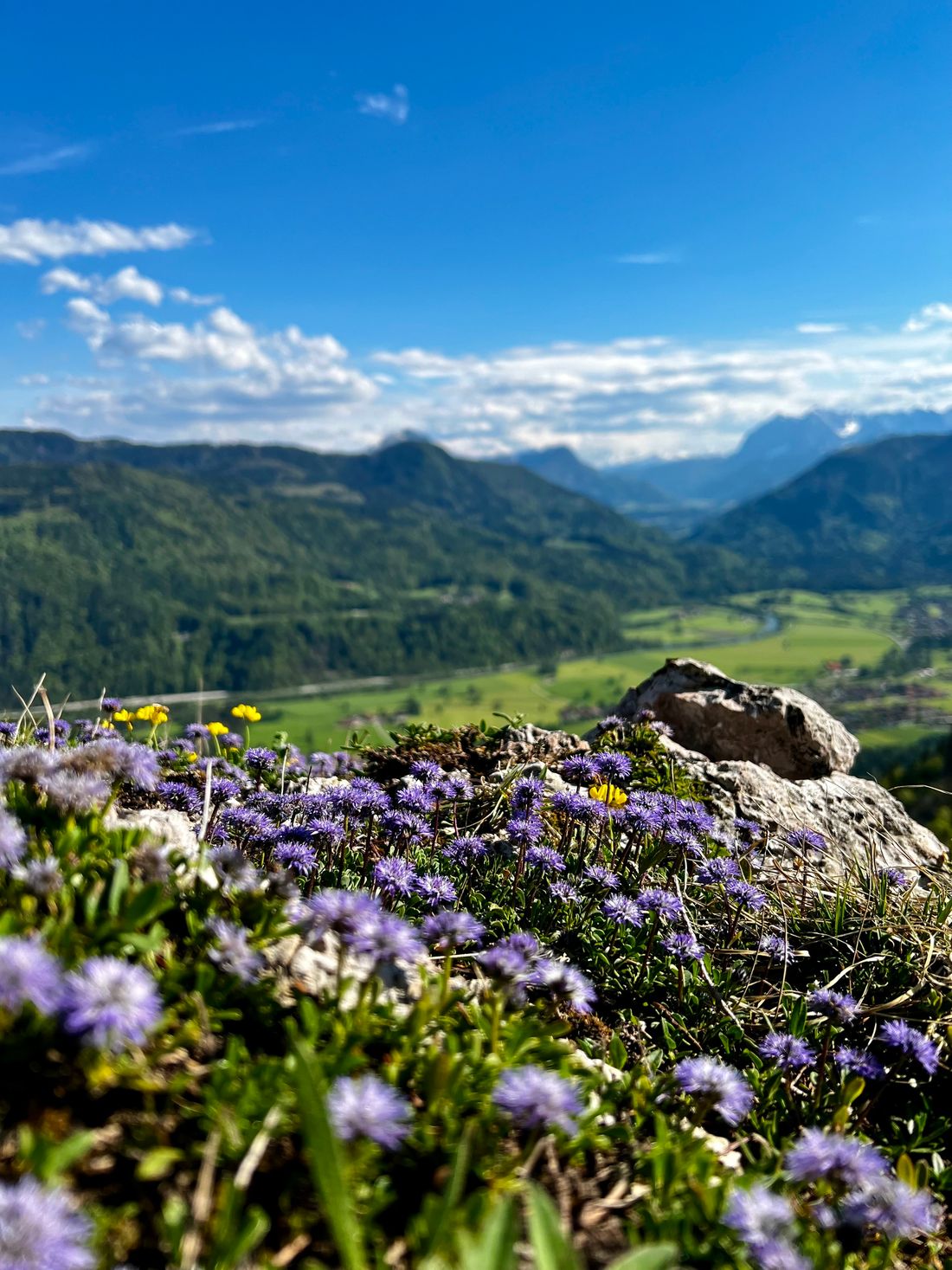
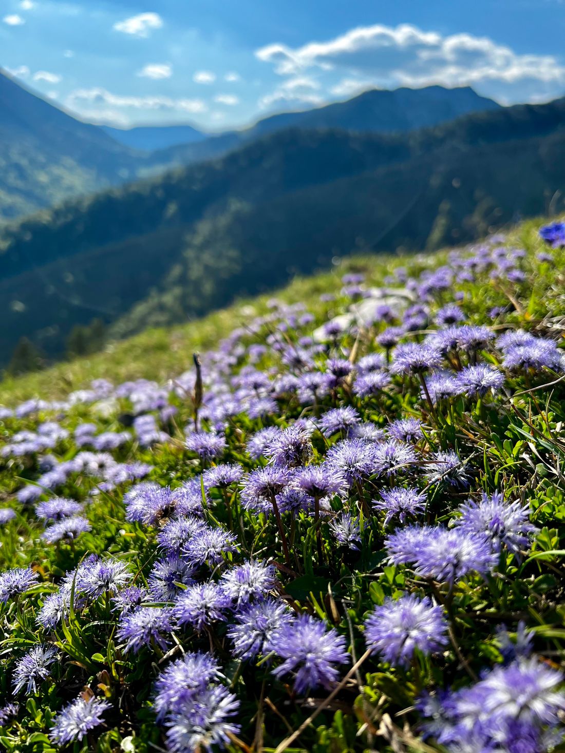
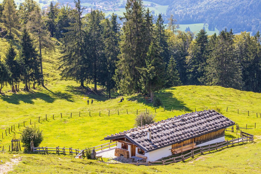
Mountain bike tour with a short walk to the Oberauerbrunstalm.
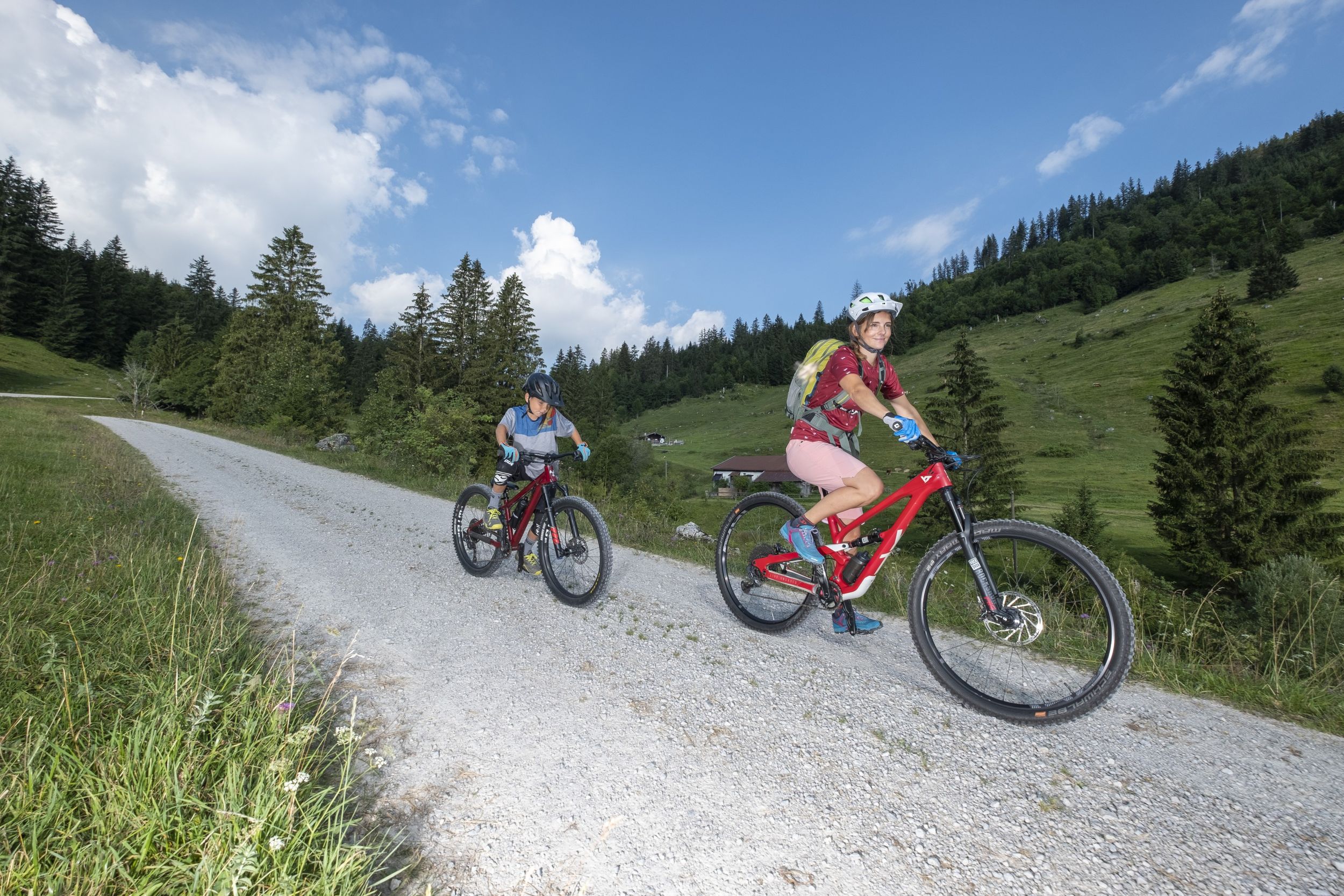
MTB 25 Oberauerbrunstalm mountainbike tour
tour- Starting point Tourist Information Schleching
- Location Schleching
- distance 12.1 kilometres
- duration 01:30 hours
- maximum altitude 1003 meters
- minimum altitude 567 meters
- altitude difference 450 ascending
- altitude difference 450 descending
Tour description:
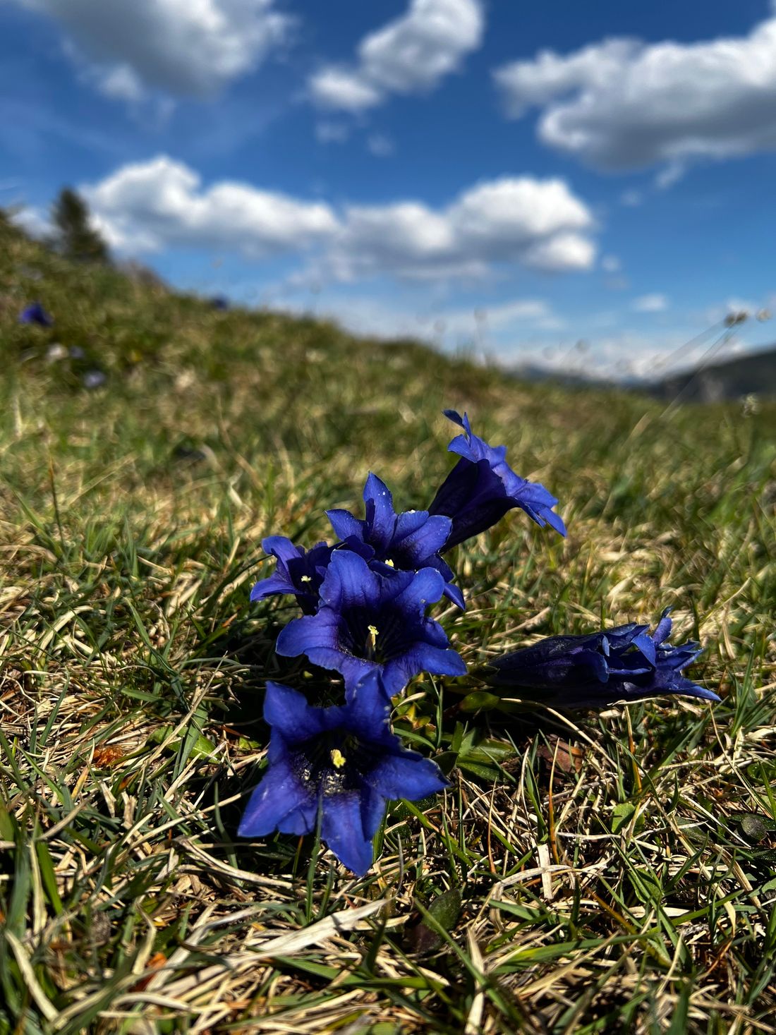
Refreshment option: Oberauerbrunstalm (*) (*) typical alpine snack during the alpine pasture season (please note opening times)Achental hiking badge Checkpoints: OberauerbrunstalmSpecial features: in spring, gentian blossoms on the alpine pasture area; Oimnussn (= alpine nuts; Bavarian pastries) on the OberauerbrunstalmStarting point is the tourist information office in Schleching. There is also good parking here. We follow the local road to the Mühlau district. Past the Dalsen car park, we ride up the first steep climb of the Dalsenweg to the turnoff to the Ramsental (Hochplatte) and the Oberauerbrunstalm.Please only ride to the end sign of the mountain bike route. Here you can park your bikes and you can reach the Oberaubrunstalm on foot in just a few minutes.The climb to the Hochplatte would also be possible from here.
Recommended months for this tour
- January
- February
- March
- April
- May
- June
- July
- August
- September
- October
- November
- December
Downloads
- Tour as a PDF file (PDF)
- Tour as a GPX file (GPX)
- Tour as a KML file (KML)
Responsible for the content: Achental Tourismus gKU
