Easy short tour on a wide, shady forest path and past a waterfall to the secluded Hinteralm.

MTB 69 Hinteralm
tour- Starting point Kohlstadt
- Location mountains
- distance 9.8 kilometres
- duration 01:00 hours
- maximum altitude 1146 meters
- minimum altitude 712 meters
- altitude difference 450 ascending
- altitude difference 450 descending
Tour description:
Route: Kohlstadt (721 m) - Weisse Ache - Menkenboden - Wasserwandl (840 m) - Eschelmoos - Hinteralm (1140 m) - Eschelmoos - Wasserwandl - Menkenboden - Weisse Ache - Kohlstadt
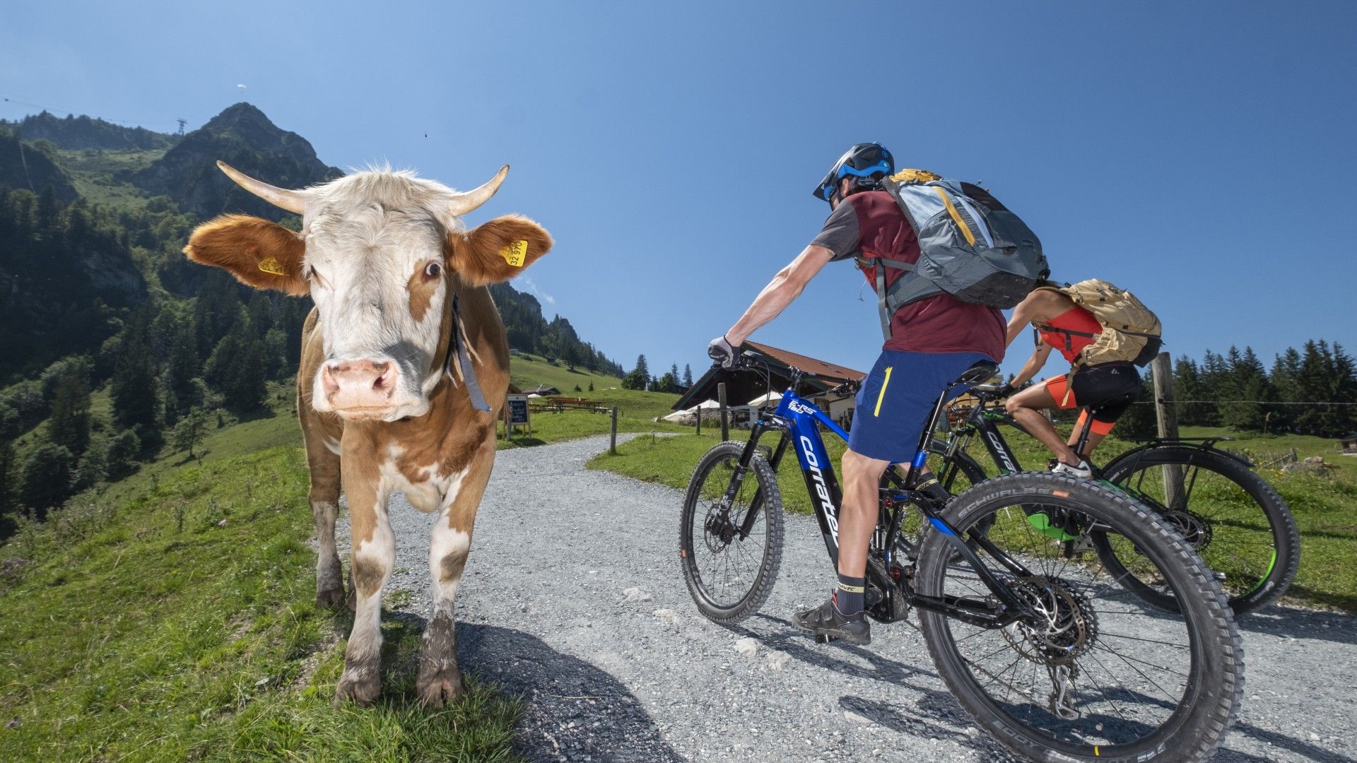
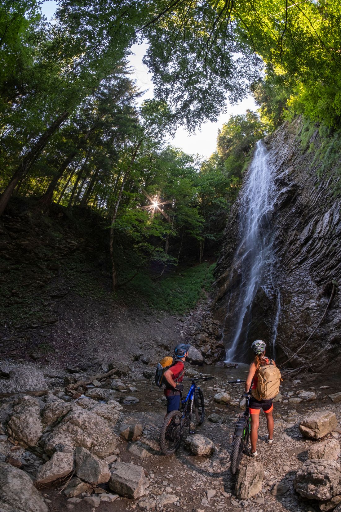
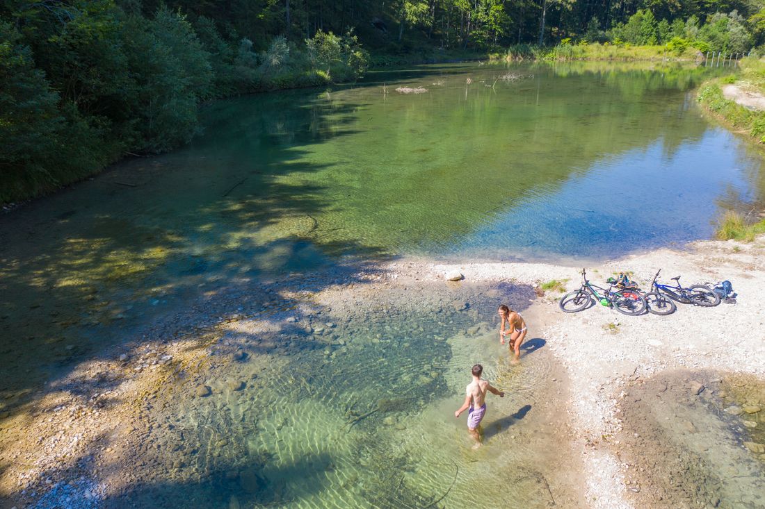
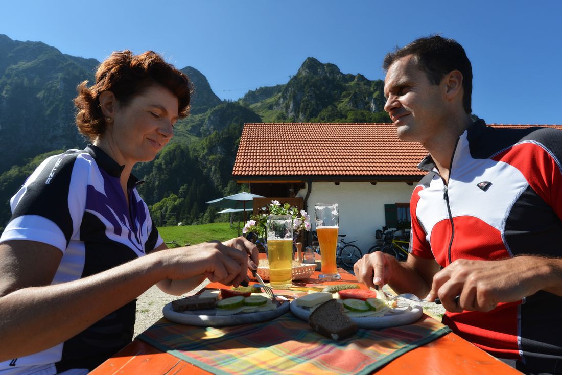
Let's start at the Kohlstatt hiking car park , about five kilometers south-west of Bergen. You can park here. From here, the easy cul-de-sac always follows the wide road parallel to the Weißen Ache. The fine gravel road is initially very flat and nicely shaded, but gets a little steeper at the end. This short trip with the Bergradl is perfect when it is oppressively hot down at Lake Chiemsee in midsummer. There are still many hikers directly behind Kohlstatt, but soon mountain bikers and e-MTBers will have the wide forest road (almost) to themselves. After a few wide hairpin bends between high mountains, you reach the lonely pasture area on the Eschelmoos - and a few minutes later the Hinteralm. The rustic little hut is staffed from the beginning of June to the end of September. After a well-deserved rest and refreshment, we return to the starting point at the Kohlstatt hiking car park. On the way you can cool off your legs at the Wasserwandl - a beautiful waterfall along the way - or in the Schipfl Weiher at the Kohlstatt hiking car park.
Highlights: Wasserwandl, Hinteralm
Bike & Swim : swimming in the Schipfl Weiher at the Kohlstatt hiking car park
Information: Tourist Info Bergen/Chiemgau, Raiffeisenplatz 4, Tel. 0 86 62/83 21, www.bergen-chiemgau.de
Recommended months for this tour
- January
- February
- March
- April
- May
- June
- July
- August
- September
- October
- November
- December
Tips for this tour
Great waterfall on the way.
Downloads
- Tour as a PDF file (PDF)
- Tour as a GPX file (GPX)
- Tour as a KML file (KML)
Arrival by car
Via Bergen in the direction of the Kohlstatt hiking car park


