Mountain tour (with Hochplattenbahn) to the Piesenhausener Hochalm and on to the summit of the Kampenwand, with unique views and alpine snacks


Mountain tour (with Hochplattenbahn) to the Piesenhausener Hochalm and on to the summit of the Kampenwand, with unique views and alpine snacks
Tour description:
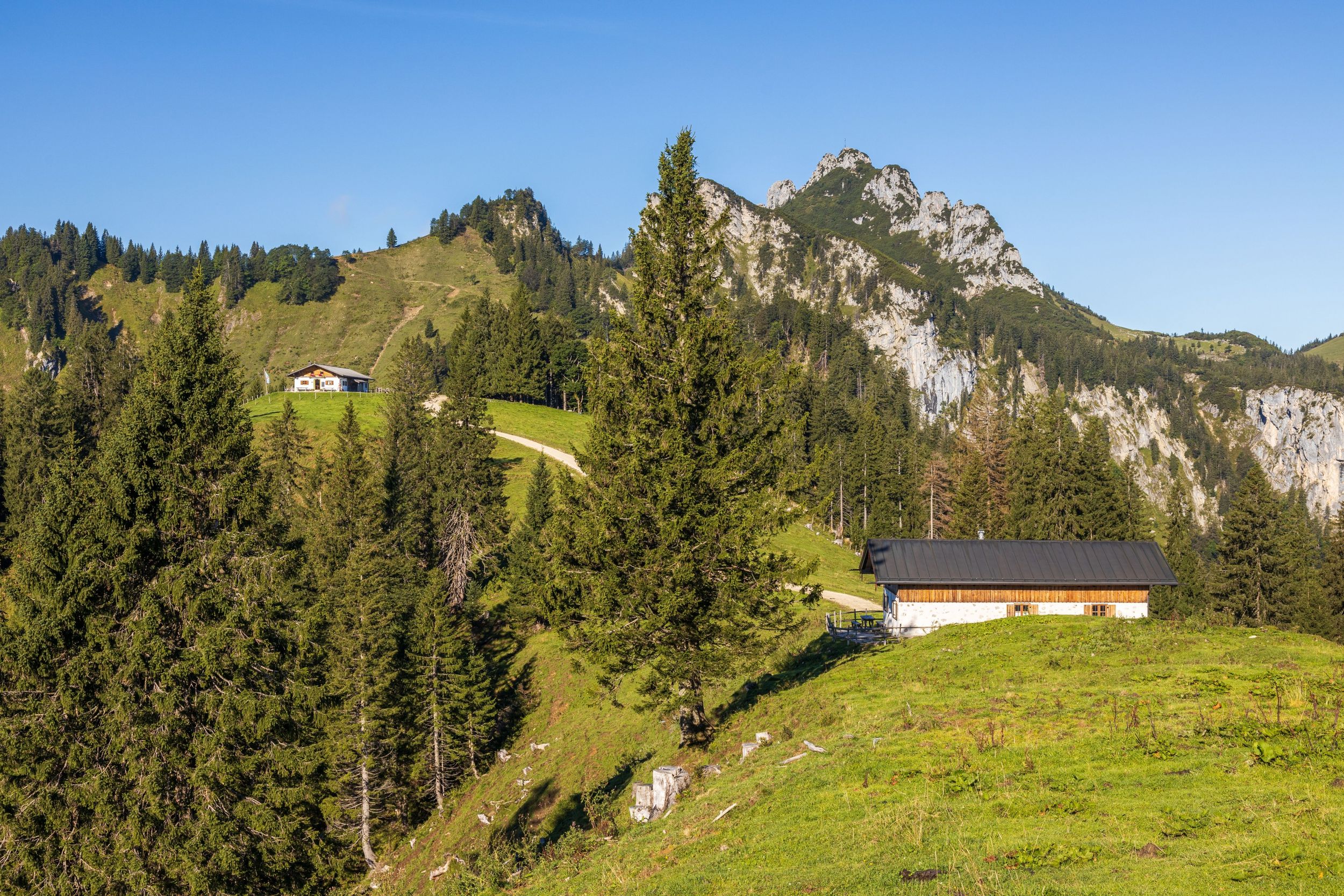
Refreshment stops: Staffn Alm, Piesenhausener Hochalm, Steinlingalm (with a detour) The hike begins at the mountain station of the Hochplattenbahn. The very well developed forest path is a section of the "E4" (European long-distance hiking trail "Pyrenees-Neusiedler See") as well as the "Maximiliansweg" and the "Via Alpina". We choose the "Alten Plattenweg" as the ascent variant and therefore turn right after about 800 meters in the direction of the Piesenhausener Hochalm. Soon we reach the forest road and immediately afterwards the entrance to the left in the direction of Kampenwand. It is a relatively demanding path that requires sure-footedness. At the end of the path we meet the forest road again. After a short while, turning right, we reach the Piesenhausener Hochalm. The Alm invites you to linger with drinks and traditional dishes. The view of the Chiemsee, the Kampenwand, the Hochplatte and also the Schlechinger valley is breathtaking. From here it goes on to the Kampenwand. The path across the meadows to the Kampenwand requires sure-footedness and after about an hour from the Hochalm we come to a crossroads that leads down to the Steinling Alm to the right. But we follow straight ahead up a steep climb to the Kampenwand. Although the via ferrata is short, it is very demanding and after about 30 minutes we reach the mighty summit cross. On the way back, we can alternatively descend via the so-called Kaisersäle. This descent is also demanding, but we can rest at the Steinling Alm, which is reached after about 30 minutes. The way back to Marquartstein takes us along the lower part of the Kampenwand in the direction of the saddle. For this alternative route we have to plan about an hour additional time. Passing the Piesenhausener Hochalm we get back to the start of the Alter Plattenweg, but now continue the tour in the direction of the Hochplatte. At the saddle of the Haberspitz we could now climb to the right to the Hochplatte, but we go down, past the Plattenalm and finally reach the starting point of our hike again.
Responsible for the content: Achental Tourismus gKU
A8 Munich-Salzburg to the Bernau exit, then continue on the B305 to Grassau. After Grassau, turn right at the Lindenkapelle and turn right again in the Marquartstein district of Piesenhausen and follow the signs to the Hochplattenbahn. For GPS: Schloßstr. 46, 83250 Marquartstein. Large free parking lot!
Take the RVO bus line 9505 or 9508 in the direction of Reit im Winkl to the Marquartstein-Rathaus stop and from there walk about 30 minutes and follow the "Hochplattenbahn" signs.

Below the summit of the Hochplatte, the Piesenhausener Hochalm invites you to an enjoyable alpine snack with a view of the Chiemsee and the Alps.