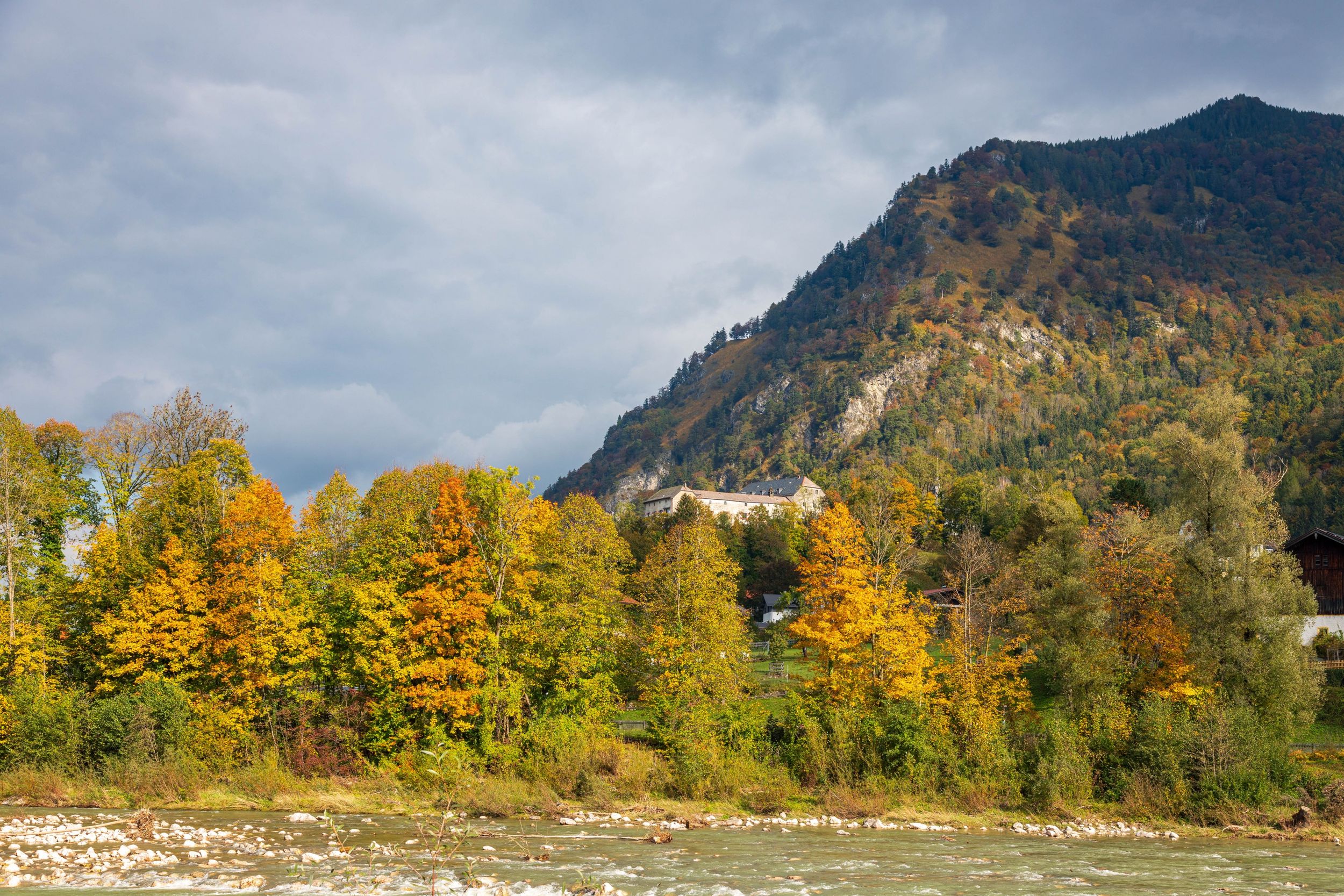
Easy hike without great differences in altitude above the towns of Marquartein and Unterwössen with charming views.


Easy hike without great differences in altitude above the towns of Marquartein and Unterwössen with charming views.
Tour description:
From the location, a sign leads us to the Richard Strauss high trail. The hike is mostly flat, in places with a clear view of the upper Achental, the Hochplatte and the Geigelstein. On the way to Unterwössen, we walk along the high trail past the Unterwössen suburb of Agg, then the guesthouse-Berghof Schlecht and later the Berghof Altweg. Once we are in the outskirts of Unterwössen, we hike along the Gruberweg, past the Jochbergweg, turn right onto the Hochgernweg in the direction of Unterwössen town center and walk past the Jochbergweg/Kastnerweg. With a clear view of the south side of the Hochplatte in front of us, we follow the sign towards the town center-Kurpark into Josef-Aberger-Straße and past the Kapellenweg to the village. In front of the church, we turn right onto Frühlingstraße, cross the B305 federal road at the next opportunity and hike along the Wössener Bach in the direction of Marquartstein. We come to the Tiroler Ache and follow the signs to Marquartstein. At the bridge over the Tiroler Ache there is a path that begins somewhat hidden on the right-hand side of the bridge and can be reached via a staircase. The path leads us past the sports facilities of the country boarding school to Alte Dorfstraße, where we turn left. We pass the Gränzmühle power station and come to Burgstraße, where we turn right and after about 10 minutes we reach the starting point of our hike again.
Responsible for the content: Achental Tourismus gKU