Easy circular hike via Minaruh and Streunthal

Circular tour via Minaruh and Streunthal (from parking lot at Rathaus)
hiking tour- Starting point Parking at the town hall
- Location Marquartstein
- distance 3.4 kilometres
- duration 01:05 hours
- maximum altitude 621 meters
- minimum altitude 557 meters
- altitude difference 102 ascending
- altitude difference 102 descending
Tour description:
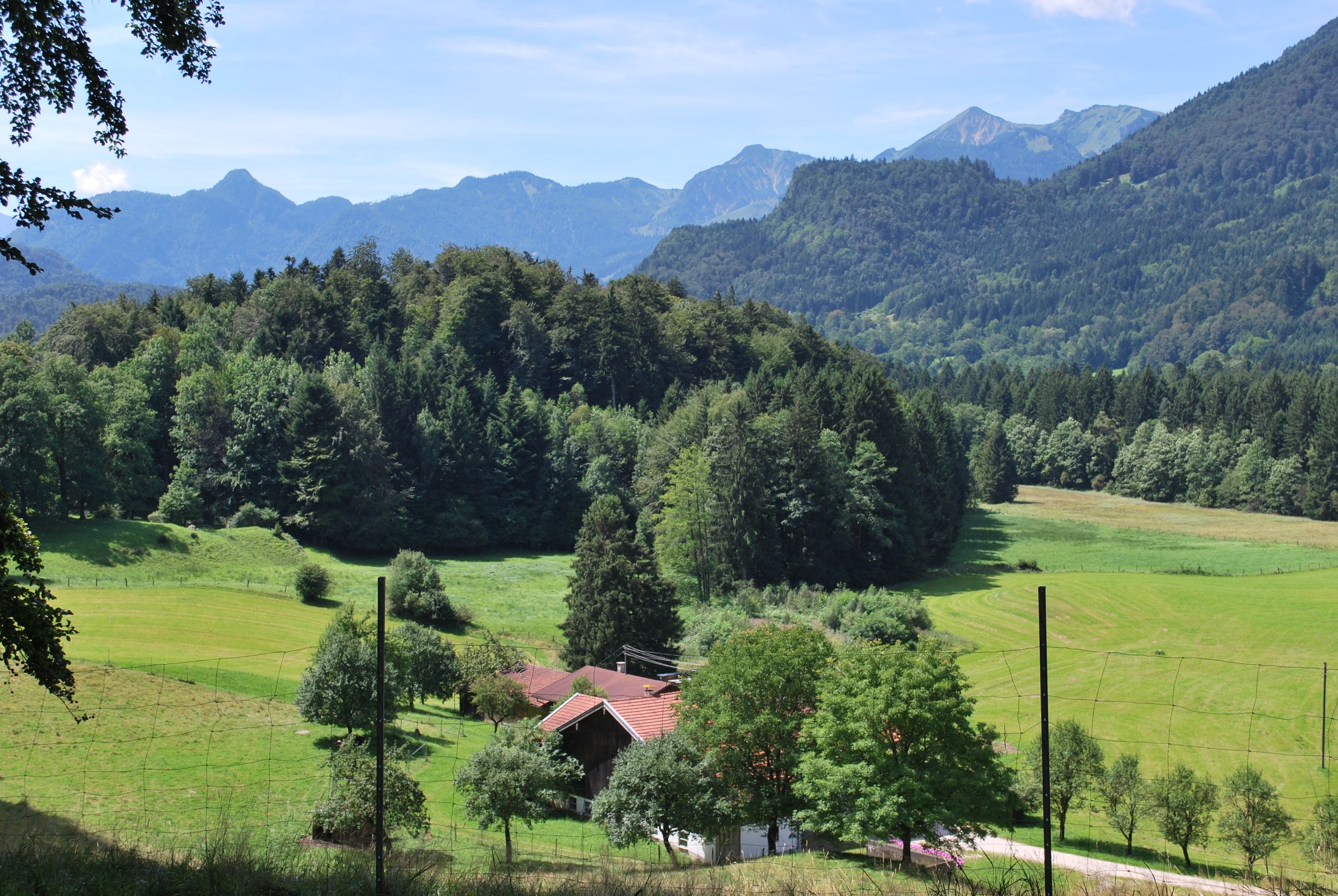
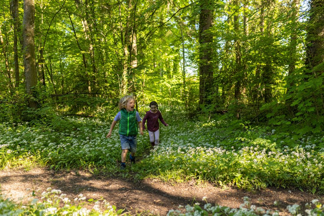
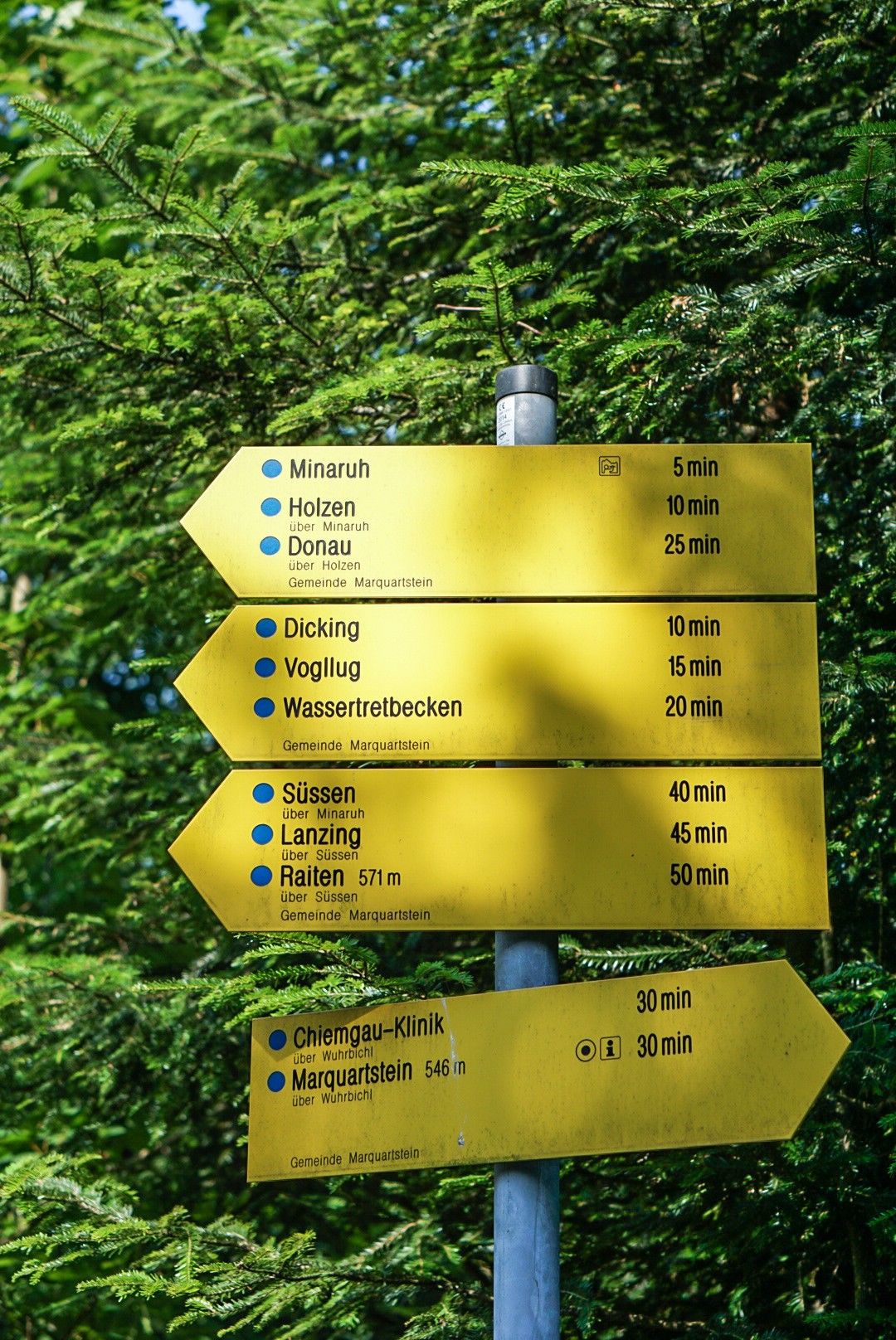
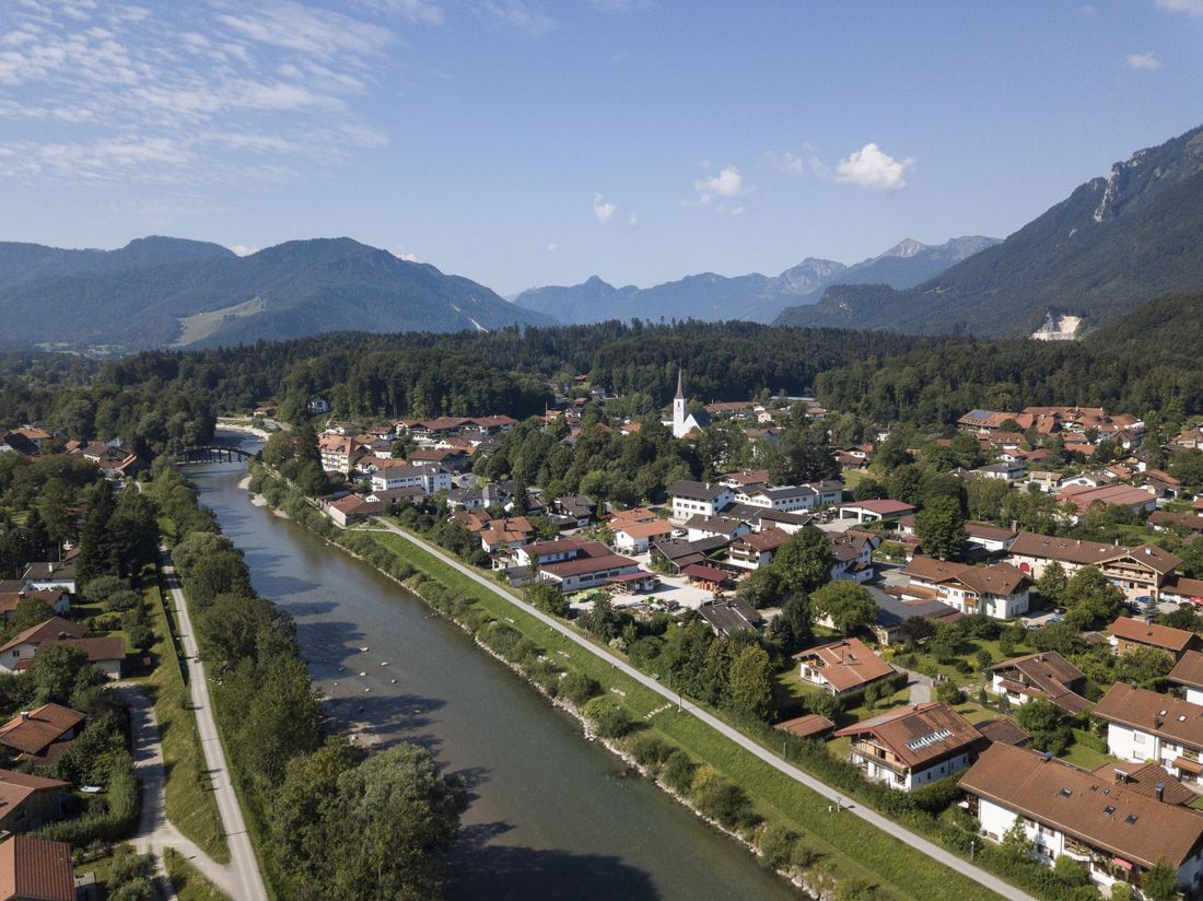
The tour starts at the town hall in Marquartstein. Diagonally opposite we start on Kirchweg, where we turn left after a few meters onto the footpath towards Lanzinger Str. We cross it, then turn right onto Streunthaler Weg, and go straight ahead in the sharp bend onto the small hiking trail towards Dicking. Following the hiking sign with the destination Minaruh, we go into the forest and after a few bends we reach an open meadow. Continuing towards Minaruh, we go back into the forest and after about a kilometer we reach Minaruh. At this idyllic vantage point, a bench invites you to take a rest with a view of Hochplatte, Geigelstein and Zahmen Kaiser. On the way back we want to go back via Streunthal and therefore choose the path that leads from Minaruh first to the right, but then later to the left towards Marquartstein (note: destination Marquartstein without the addition "via Wuhrbichl"). When we reach the next sign, we do not go downhill to Marquartstein but keep left and turn right after a few meters. We walk past the hut belonging to the Streunthaler Hof, then the farm itself and then walk back towards Marquartstein and soon reach the starting point again.
Recommended months for this tour
- January
- February
- March
- April
- May
- June
- July
- August
- September
- October
- November
- December
Downloads
- Tour as a PDF file (PDF)
- Tour as a GPX file (GPX)
- Tour as a KML file (KML)
Responsible for the content: Achental Tourismus gKU


