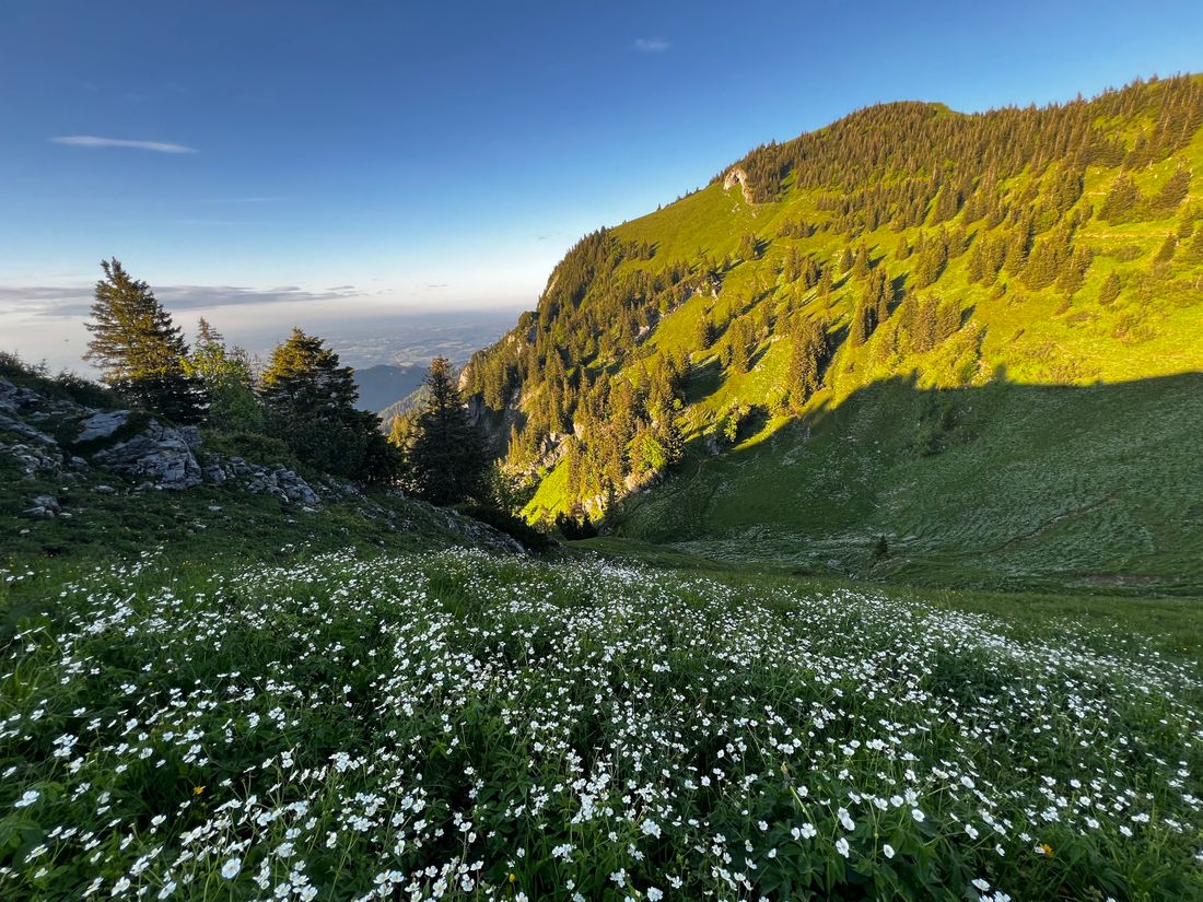
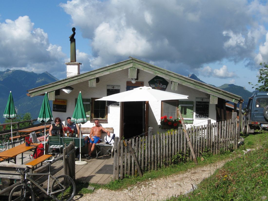
Scenic but long circular tour to the Hochgern with many places to stop for refreshments.
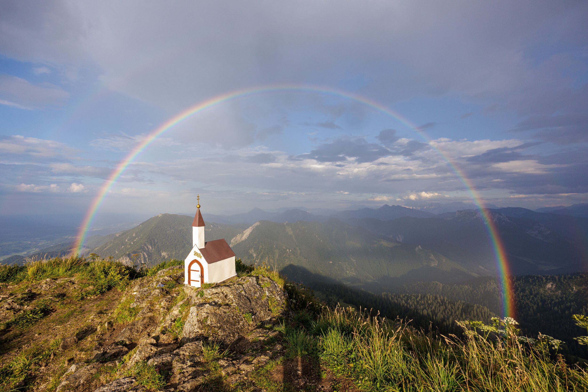
Circular trail Hochgern-Staudacheralm-Schnappenkirche
hiking tour- Starting point Hochgern hiking car park
- Location Unterwössen
- distance 19.3 kilometres
- duration 09:30 hours
- maximum altitude 1736 meters
- minimum altitude 598 meters
- altitude difference 1297 ascending
- altitude difference 1291 descending
Tour description:
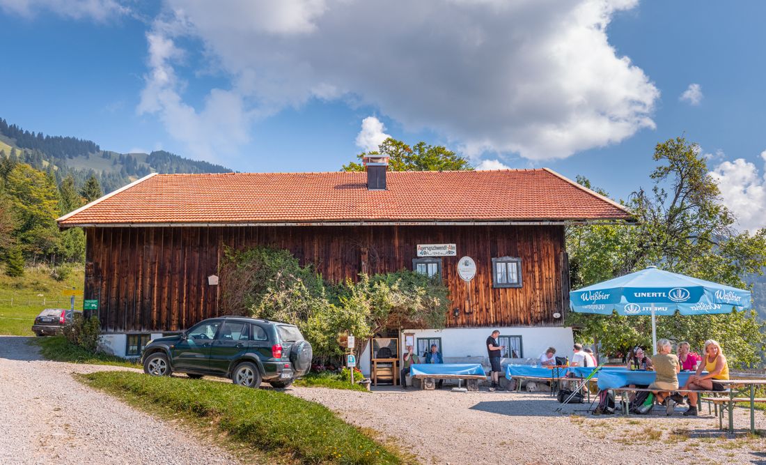
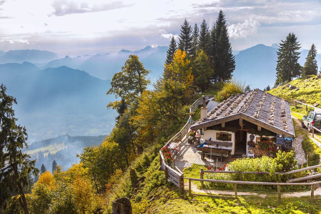
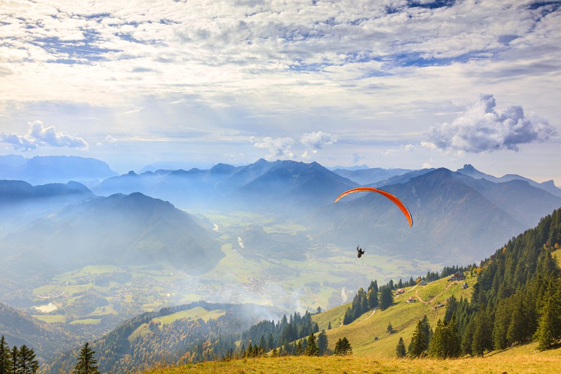
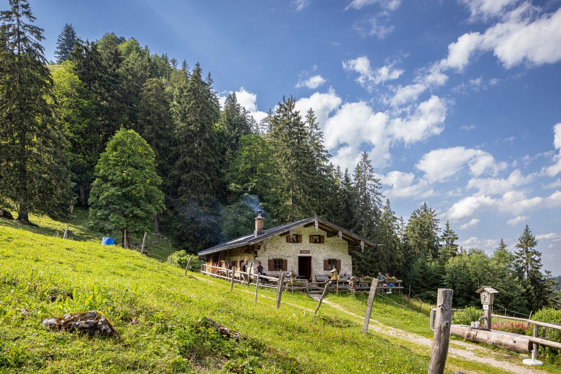
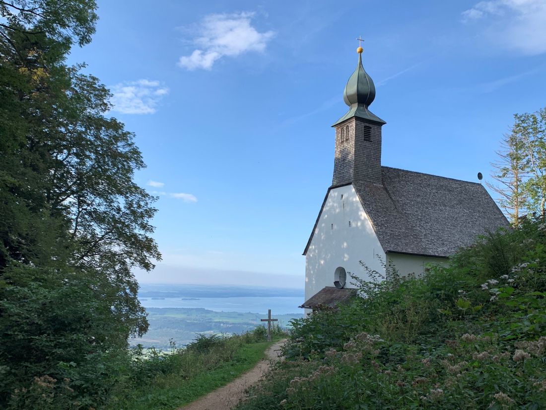
Hochgern hiking car park - Agergschwendalm - Moaralm - Enzianhütte - Hochgernhaus - Hochgerngipfel - Staudacheralm - Schnappenkirche - Richard-Strauss-Höhenweg - Hochgern hiking car par.k From the hiking car park, follow path no. 5 towards Hochgern. On a forest road and then on a somewhat narrower path, you pass the Agergschwendalm, the Moaralm, the Enzianhütte and the Hochgernhaus to the Hochgerngipfel. After you have reached the double summit and enjoyed the wonderful mountain panorama, walk back a short distance along the same path and soon come to the turnoff to the right to the Staudacheralm. Now follow the path that leads in many small serpentines, first through mountain pines and later over beautiful alpine meadows to the Staudacheralm. From the Staudacheralm, take path no. 3 towards the Schnappenkirche. At the Schnappenkirche church, keep left and follow path no. 53 towards Marquartstein. Before you reach the village, turn left onto path no. 1 "Richard-Strauss-Höhenweg" towards Unterwössen. At the fork in the road just before Unterwössen, keep left and return to your starting point. Enjoy the magnificent mountain panorama at the Hochgern summit. Refreshment options: Agergschwendalm, Moaralm, Enzianhütte, Hochgernhaus, Staudacheralm (please note the opening times)
Recommended months for this tour
- January
- February
- March
- April
- May
- June
- July
- August
- September
- October
- November
- December
Downloads
- Tour as a PDF file (PDF)
- Tour as a GPX file (GPX)
- Tour as a KML file (KML)
Responsible for the content: Achental Tourismus gKU

