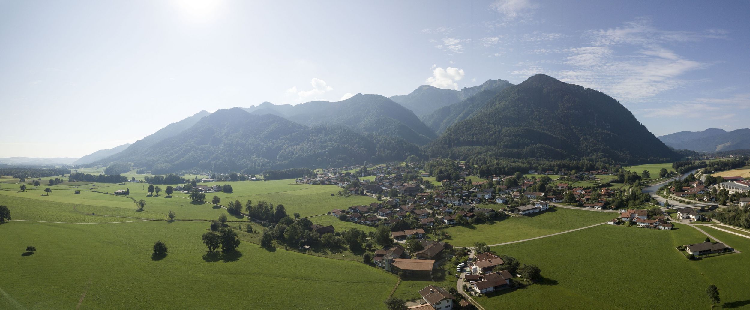
Beautiful exploration tour through the forest near Staudach to Freiweidach


Beautiful exploration tour through the forest near Staudach to Freiweidach
Tour description:
Refreshment options: Gasthof Mühlwinkl and zum Ott in StaudachFrom the car park we go down the small path next to the main road and at the next fork we see a signpost to our right that we can use to orient ourselves. We head towards Mühlwinkl, first on a somewhat steeper forest path through a sparse forest and then follow the path back downhill. Soon we see Mühlwinkl in front of us through the trees, turn left at the next fork and reach the wood storage area. We now follow the signs to Gasthaus Mühlwinkl. Behind the inn a sign leads us left across the car park and along an idyllic forest path towards Staudach. The Alplbach flows next to us and we follow the signs to Staudach. We do not cross the first bridge, but continue straight on and cross the stream at the next bridge, turn left and immediately after that right. At the next intersection we turn left and reach Bahnhofstrasse, where we turn left to Marquartsteiner Strasse and turn into it. At Hochgernstrasse we turn left, walk up to the wood storage area and then right to the next sign. From there we continue the hike towards Marquartstein and the Schnappenwinkel circular trail past the tennis court. The next sign leads us left towards Marquartstein and we reach the main road, where we turn left to the starting point of our hike.
Responsible for the content: Achental Tourismus gKU