Beautiful alpine hike with a view of the Hochgern from the north.


Beautiful alpine hike with a view of the Hochgern from the north.
Tour description:
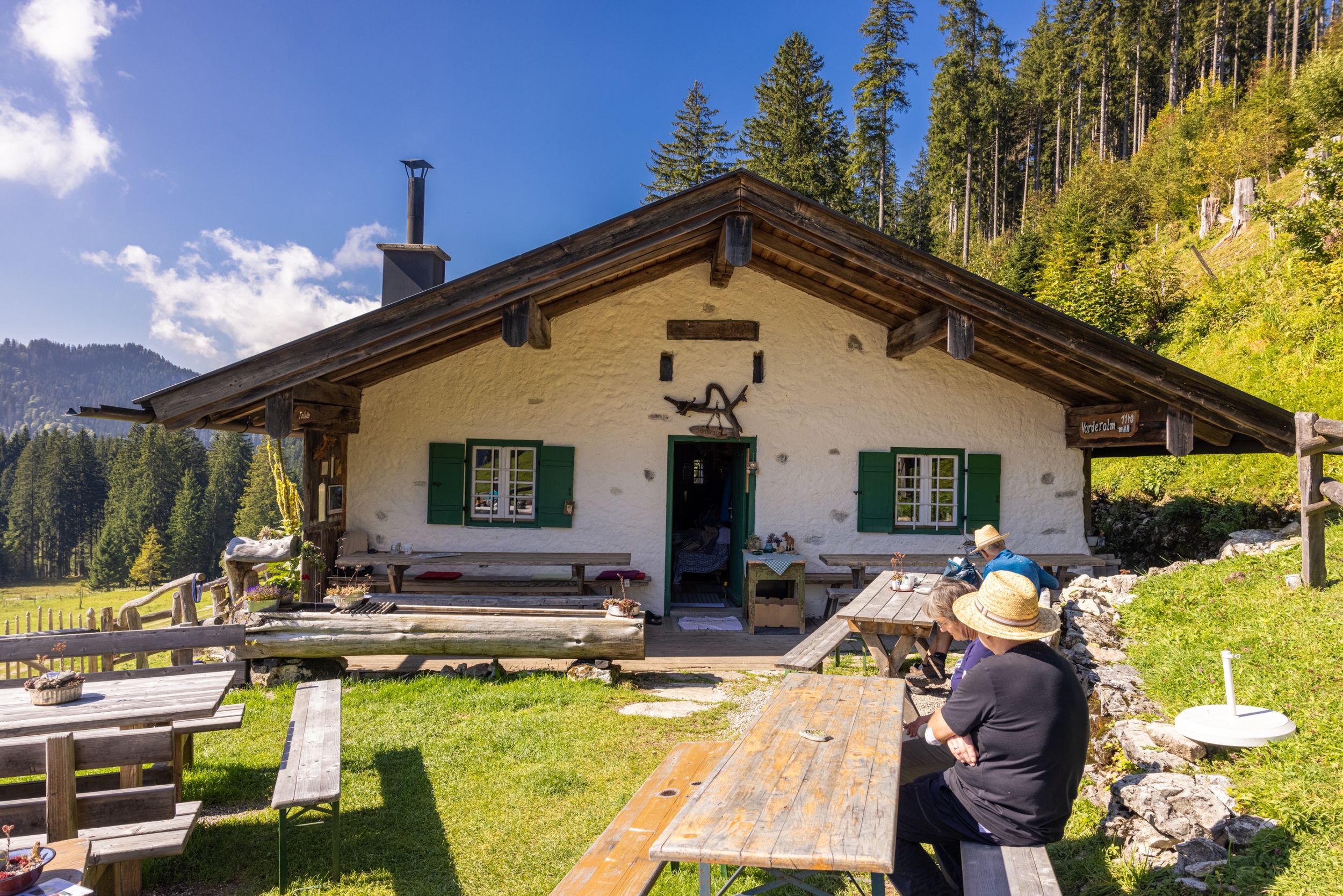
Beautiful alpine hike with a view of the Hochgern from the north. From the hiking car park Holzlagerplatz in Mühlwinkel, follow the yellow signpost Vorderalm. The route continues along a gorge dug by the Alplbach, a torrent, through shady mountain forest. After another 150 meters, the path to the Schnappenkirche branches off to the right. We continue straight ahead and follow the signpost Staudacher Alm. Now the steeper section of the path slowly begins, always going uphill along the torrent. We repeatedly cross the Alplbach with its waterfalls and tributaries on wooden bridges. After about 1 hour, just before reaching the wide alpine path no. 35, a path branches off to the left (faded wooden sign). We follow the path to the transverse alpine path no. 35, cross it and follow the path on the other side until we come back to the wide alpine path no. 35. We follow this until we come out of the forest and onto the meadows of the Vorderalm. The Vorderalm is located on a high plateau and offers a breathtaking view of Silleck and Hochgern.After a rest on the Vorderalm, the trail continues on wooden planks across a beautiful alpine meadow towards Brachtalm. On this section of the trail, a slowly ascending path leads over meadows and through the mountain forest, with views of Lake Chiemsee. After a short while, we reach a forest road and follow this left into a dead end towards Brachtalm. If we decide against another rest, we cross the forest road directly here and follow the sign towards Staudacher Alm.The path to Staudacher Alm leads us through the mountain forest and here, too, we have a beautiful view of Lake Chiemsee. After about 10 minutes, the path leads out of the forest onto a plateau and after a short time we can see the Staudacher Alm in front of us. This alpine pasture is flanked by the northern slopes of the Hochgern, the Zwölferspitz and the Hochlerch and offers a high alpine flair. Another stop is possible at the Staudacher Alm and sometimes you can see chamois climbing the slopes from there. The route goes towards Staudach-Egerndach on a forest road that meets the starting path along the Alplbach. We follow this back into the valley.
Responsible for the content: Achental Tourismus gKU