Fridolfing - Kirchanschöring - Wolkersdorf - Tettenhausen - Bicheln - Tengling - Church of St. Coloman - Wilgering - Harmoning - Gierling - Klebham - Fridolfing
Direction of travel : Clockwise
Ground : 97% asphalt, 3% solid forest path (hardly any inclines)
Incline : 2% - 5%, (2 short pieces < 8%),
Gradient : < 3% - 8%
Slopes : approx. 800 m on a good, solid forest path
Note : E-support or bike support recommended!
Start and finish: Fridolfing car park , next to the parish church of the Assumption of the Virgin Mary. It is the largest village church in Germany. From there head west, at the "small roundabout" turn left onto Rupertistrasse (!) . Before the clothing store "Lahner" turn left into Mariengasse, then turn right slightly downhill to Hadrianstraße. Cross this carefully (!) and roll onto St.-Johann-Straße. It continues slightly uphill (approx. 2-3%) past the church of St. Johann and approx. 6.5 km on Fridolfinger Str . via Hipflham (keep right on Fridolfinger Straße) to Kirchanschöring . Turn right into Laufener Straße and drive to the town centre. At the zebra crossing after the church , over to the left-hand footpath and cycle path (!) and out of Kirchanschöring on Lampodinger Straße.
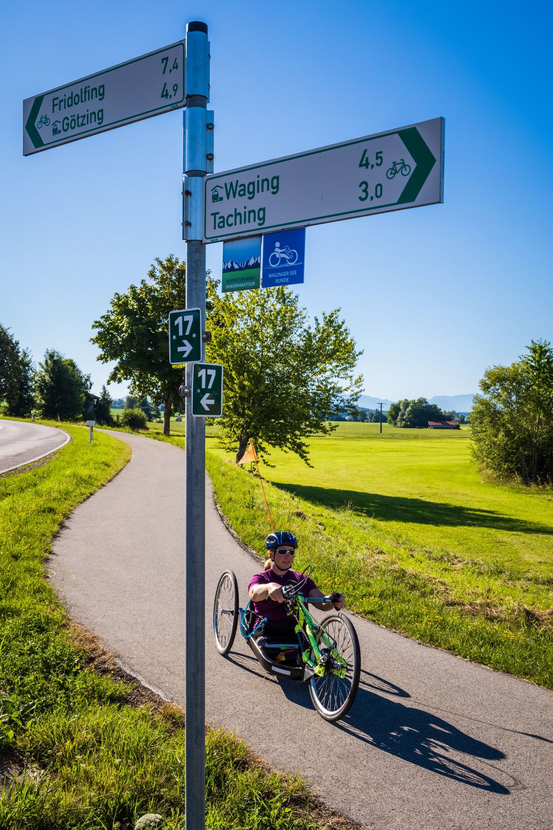
After about 300 meters , cross Lampodinger Straße to the right (!) and follow the bike signs towards Waging/Tettenhausen. Ascent straight ahead on asphalt/concrete road for approx. 2.3 km (3% - 5%; at 100 meters approx. 7 - 8%), past Herrnöd, Dürnberg and Hausen in the direction of Tettenhausen. Straight ahead at the fork in the direction of Pirach. At Röhrmoos, keep left at the fork in the road (bicycle signs). Roll down about 2 km to the Wolkersdorfer Straße (TS23). Use the underpass and turn right on the cycle path on the left-hand side towards Waging/Tettenhausen.
Later, you can relax and go down to Tettenhausen . Slightly uphill in the village (max. 5%) to the parking lot in front of the Raiffeisenbank. Cross the main road at the crossing aid (!) and change to the right side of the road. Continue to the left, after approx. 300 meters on a narrow footpath turn right onto BiChelner Straße and drive approx. one kilometer in the direction of BiCheln , of which approx. 200 m is uphill (max. 6%). At the next fork in the road, turn left in the direction of Hinterreit. The next 1.4 kilometers are a bit downhill on a good, solid forest path with few inclines (!) . Then continue straight on at the Hinterreit junction. A beautiful view opens up to the left of Lake Tachinger and the distant chain of the Alps. The tour continues on a narrow asphalt road in the direction of Tengling .
The enchanting church of St. Coloman with its pointed steeple greets you from afar. Because the direct way up is steep, it goes a short distance below St. Coloman to the entrance to Tengling . Take a sharp right here, slightly uphill in the direction of Wilgering and following the signs to St. Coloman. Here you will be rewarded with a magnificent view of the Chiemgau Alps. The route continues past Wilgering to the junction with Fridolfinger Straße (TS28). Carefully turn right onto the district road - a short stretch without a cycle path (!) . After about 400 meters turn left (!) and follow the bike signs towards Tittmoning/Fridolfing. At the end of the road at Harmoning, turn right towards Fridolfing. The last five kilometers are pure pleasure, because it is almost always slightly downhill. After Gierling, the tour leads under a railway bridge, past Klebham and Furth - the well-known church tower in view - comfortably into Fridolfing to the starting point.
(!): Reference to road crossings or possible problem areas
