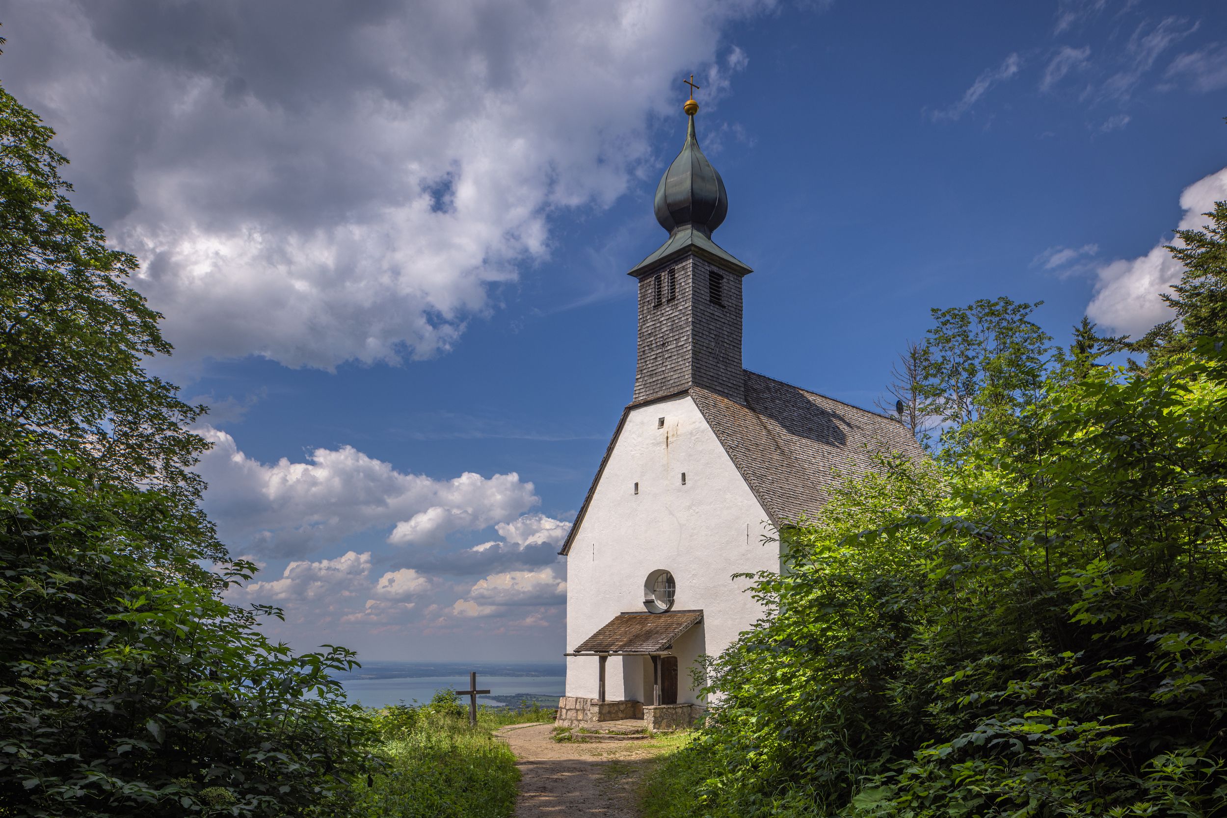
Beautiful hike to the Schnappenkirche with a wonderful panoramic view of Lake Chiemsee.


Beautiful hike to the Schnappenkirche with a wonderful panoramic view of Lake Chiemsee.
Tour description:
From the hiking car park we walk towards the Schnappenkirche, after 200 metres turn left onto the forest road and then after another 200 metres turn left onto the Schnappenweg according to the sign at the sign location at the "Fütterung". Along this path we come to a junction that leads left to "Windeck", but we continue the hike on the path to the Schnappenkirche. At the Scherbenstein the path makes a steep left turn. The comfortable, constantly slightly ascending path soon emerges from the forest and we can already enjoy the view of the upper Achental and the Chiemgau mountains. Below the Predigtstein the path mostly leads back through the forest to the historic Schnappenkirche. According to legend, the chapel was originally built as a memorial church for Count Marquart (builder of Marquartstein Castle), who was murdered on this mountain while hunting. It is not easy to tear yourself away from the magnificent view over the Chiemgau and the Chiemsee. The same path leads back into the valley to the starting point. With the help of the hiking signs we cannot miss the way.
Responsible for the content: Achental Tourismus gKU