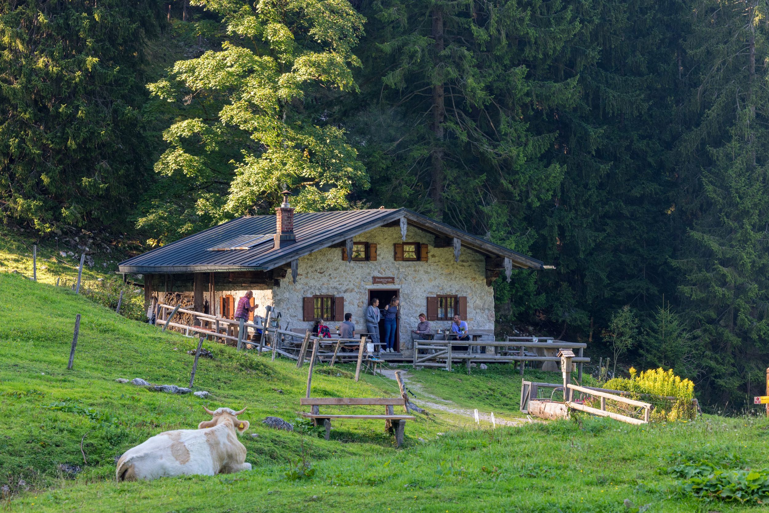
Circular hike via Staudacheralm and Schnappenkirche


Circular hike via Staudacheralm and Schnappenkirche
Tour description:
From the end of the village in Freiweidach we follow the sign towards Mühlwinkl. Once there we continue the hike through a beautiful beech forest and continue towards Staudacheralm. At the alpine pasture we walk towards Schnappenkirche. Once there we have a wonderful view of the Chiemsee and the surrounding villages. Now we head downhill towards Marquartstein. The easy forest path takes us past some mighty boulders, the so-called Kindlwand and the Scherbenstein. Once we reach the hiking car park we head towards Staudach-Egerndach and return to the starting point of our hike.Refreshment options: Staudacher Alm, after the hike in Staudach - Gasthof Mühlwinkl or to Ott (please note the opening times)
Responsible for the content: Achental Tourismus gKU