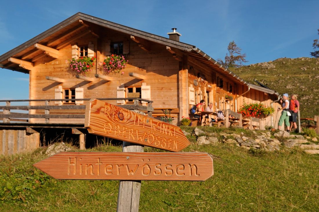
Location and directions: Direction Taubensee at 1240 m
Starting points:
From Reit im Winkl center or Birnbach car park:
on paths 3 and 9 via the Hutzenalm
2 hours from the town center, approx. 1 hour 15 minutes walk from Birnbach
From Oberwössen:
> Exit the town in the direction of Reit im Winkl, after 500 m on the right car park via Erdtal, Assbergalm to Stoibenmöseralm path no.9
Walking time approx. 2 hours
From Hinterwössen:
Schlierbachweg via Luftbodensteig
Walking time approx. 1 hour 50 minutes
From Kössen:
Option 1: Ochsenalm, Embachalm to Stoibenmöseralm
Walking time approx. 2 hours
Option 2: Rinderbrachalm, Frankenalm, Dichtleralm (steep, narrow path from Dichtleralm)
walking time approx. 1 hours 30 minutes
Managed:
End of May - beginning of October, from 03.10. only suny weekends, no rest day
Catering:
Typical alpine snacks
Responsible for the content: Tourist Info Reit im Winkl
