50 km with some steep climbs and rapid descents make this tour an experience for cyclists in good physical condition.


50 km with some steep climbs and rapid descents make this tour an experience for cyclists in good physical condition.
Tour description:
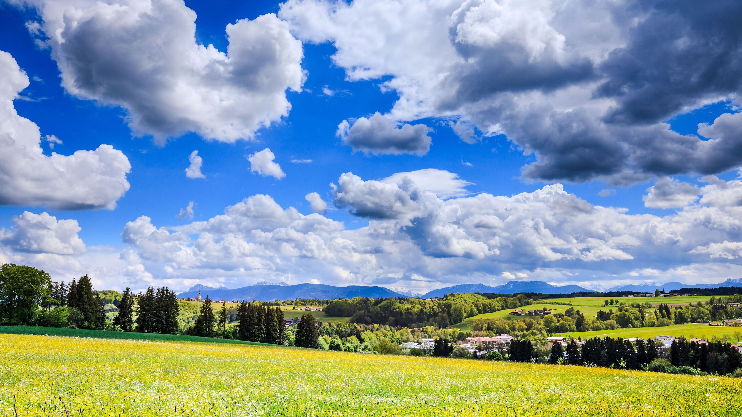
Of course, the effort is rewarded with beautiful views of the Rupertigau. The round leads over several partly demanding climbs and descents with partly more than 10% uphill or downhill sections. as there would be: Up to Haslach from km 1 After approx. 15 km at the swimming pool up to the Hochberg After approx. 25 km in Frauenstätt up to the "Riedl" - the highest point of the round. Directions Tourist Info - ST 2105 right - roundabout - after approx. 200 m turn left in the direction of Wonneberg - Haslach - T-junction right at Untermoosen - T-junction right at Köpfelsberg - St.Leonhard - left in town - after approx. 550 m left Direction Unterwendling - Oberwendling right direction Fritzenweng - Fritzenweng T-junction left - Voitswinkel - Wüstenreit - before Lauter right - Hallabruck left direction Traunstein - Hufschlag - roundabout second exit direction Traunstein ad B 306 direction Siegsdorf - at the swimming pool turn left into the TS 29 direction Hochberg - Kuppe Hochberg Panorama *** - after approx. 1 km fork left in the direction of Hinterwelln/Vorderwelln - go under the BAB - T-junction right - after approx. 1.5 km turn left into Mühlenstraße - Unterheutau - turn off to Frauenstätt - Frauenstätt - after approx. 300 m fork on the right - hilltop "Riedl" - forest - T-junction adBAB underpass left - before Neukirchen turn right towards Oberteisendorf - Oberteisendorf - straight through h the town into Holzhauser Straße - after approx. 850 m turn right in the direction of Mehring - Mehring - straight through the town to the T-junction BGL 12 - there turn left in the direction of Waging - Waging am See.
If you drive the lap in the opposite direction, it takes on a completely different character.
Responsible for the content: Ferienregion Waginger See