Trailrun - Hochgern via Staudacher Alm and back via Moaralm and Agergschwendt

Trailrun - Hochgern summit via Staudacher Alm
tour- Starting point Parking at the town hall
- Location Marquartstein
- distance 20.8 kilometres
- duration 04:30 hours
- maximum altitude 1734 meters
- minimum altitude 538 meters
- altitude difference 1322 ascending
- altitude difference 1319 descending
Tour description:
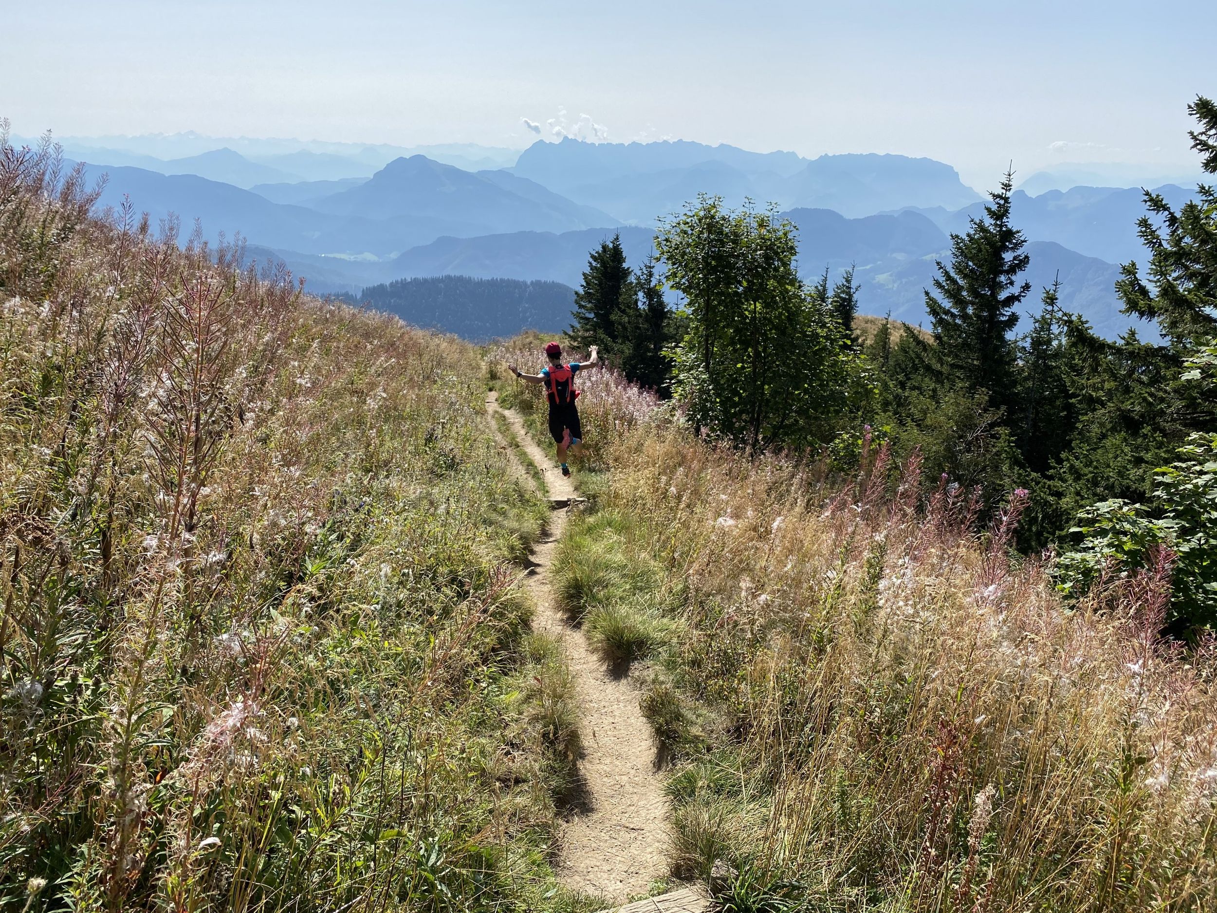
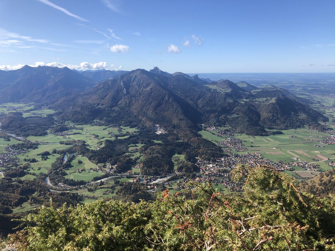
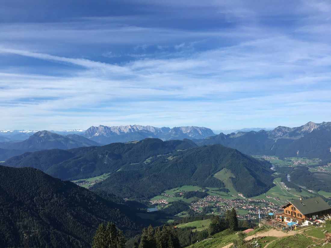
We start at the car park by the town hall in Marquartstein and walk through the pedestrian zone, over the old bridge, follow the road and turn left onto Burgstrasse towards the Hochgern car park. Then we follow the signs towards Schnappenberg. Then we walk towards Staudacher Alm, before turning right onto the path towards the Hochgern summit. At the top we walk towards the summit chapel before walking downhill via the Hochgernhaus, Enzian Hütte and Moar Alm downhill towards the Hochgern car park. After the car park we continue down Burgstrasse before turning right and walking behind the castle towards the Freiweidach hiking car park. Once we arrive at the car park we walk towards the Ache past the sports field until we cross the bridge over the Ache at Skywalk and then along the dam towards the center of Marquartstein, where we walk right through the pedestrian zone, then left across the road to the car park by the town hall.
Recommended months for this tour
- January
- February
- March
- April
- May
- June
- July
- August
- September
- October
- November
- December
Downloads
- Tour as a PDF file (PDF)
- Tour as a GPX file (GPX)
- Tour as a KML file (KML)
Responsible for the content: Achental Tourismus gKU


