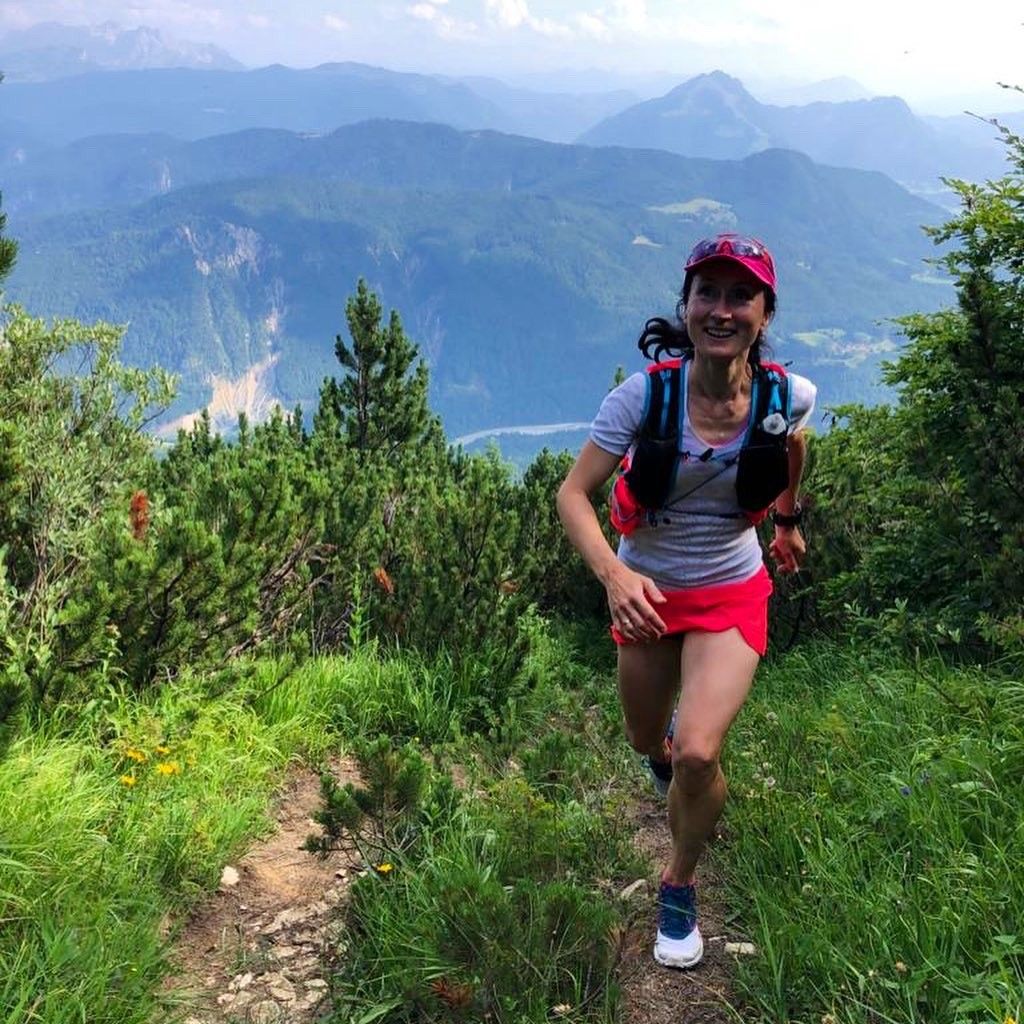
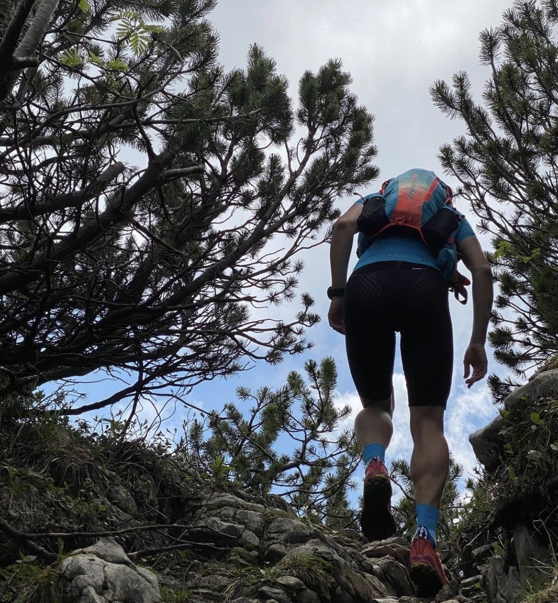
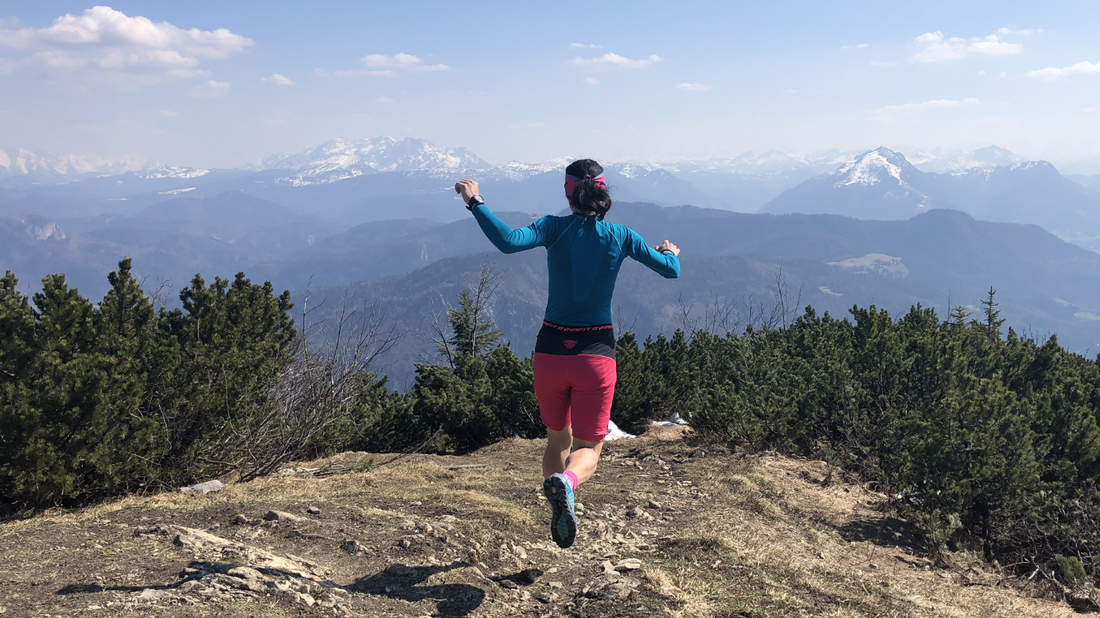
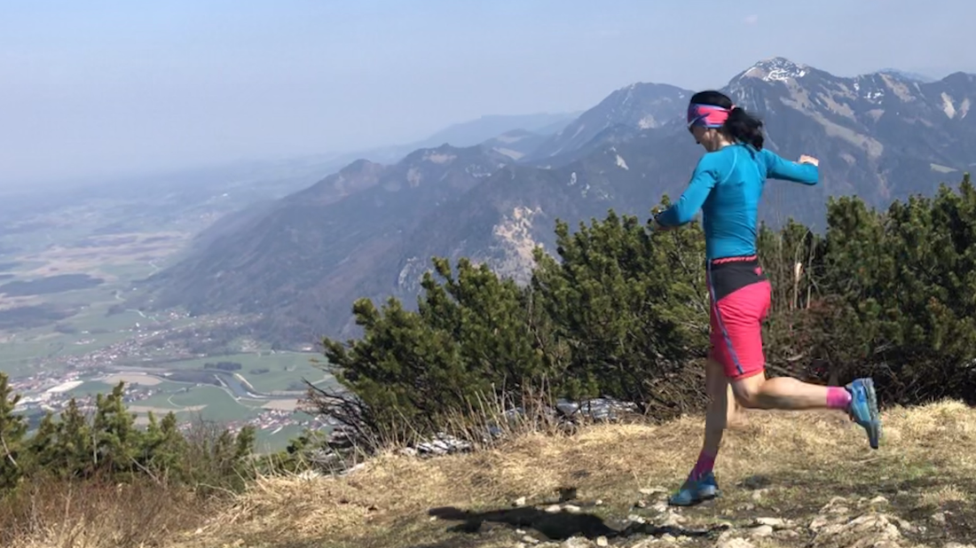
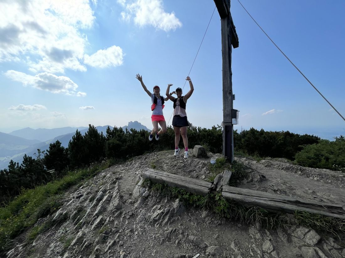
Trail run over Teufelsstein to Hochplatte
Trailrun - Hochplatte summit via Raiten
tour- Starting point Town Hall Parking
- Location Marquartstein
- distance 21.5 kilometres
- duration 03:35 hours
- maximum altitude 1578 meters
- minimum altitude 544 meters
- altitude difference 1389 ascending
- altitude difference 1388 descending
Tour description:
We start at the town hall car park in Marquartstein, walk diagonally across into Kirchweg, continue to Wurzer Weg, then past the Achental secondary school, until we turn right into the forest after the sports field and the path goes up. At the large fork in the road, we first follow the signs towards Kaiserblick, walk past it, and then turn right onto the trail (No. 62) towards Teufelsstein and Hochplatte. Once we reach the Hochplatten summit, we continue towards Friedenrath, but stay on the 204 to leave the summit on the left, until we keep right at the Staffn Alm junction to get to the Hochplattenbahn mountain station. After the mountain station, we follow the path until we turn left towards Hefteralm. We stay on the path until we pass the Rachlalm, then we walk under the railway until we reach the car park, where we keep right to follow the small path in the forest until we pass the Achental secondary school again in Marquartstein. Then we just keep walking along the road until we get back to the car park by the town hall.
Recommended months for this tour
- January
- February
- March
- April
- May
- June
- July
- August
- September
- October
- November
- December
Downloads
- Tour as a PDF file (PDF)
- Tour as a GPX file (GPX)
- Tour as a KML file (KML)
Responsible for the content: Achental Tourismus gKU
