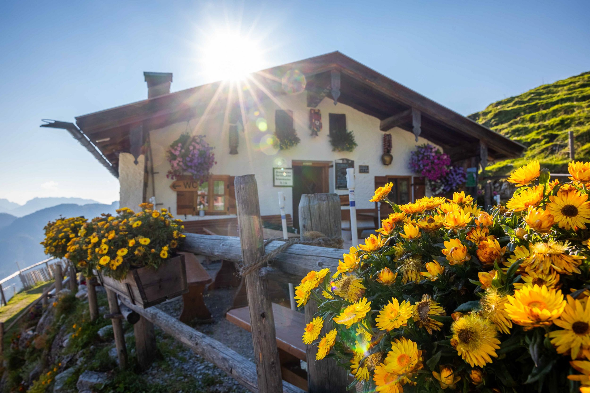
From Unterwössen via the Rechenbergalm to the Jochbergalm and back through the Kaltenbachtal.


From Unterwössen via the Rechenbergalm to the Jochbergalm and back through the Kaltenbachtal.
Tour description:
Hochgern hiking car park - Widholz - Rechenbergalm - large Rechenberg - small Rechenberg - Jochbergalm - Kaltenbachtal - Hochgern hiking car park We start at the car park in the Au in Unterwössen and follow path no. 7 via Widholz to the Rechenbergalm. Here the path above the Rechenbergalm becomes a path that winds up the large Rechenberg in serpentines. Once you have reached the saddle, you are treated to a fantastic panorama. Now follow the path along the small Rechenberg and later reach the Jochbergalm. From here you have many options for getting back to the valley. After a rest, we walk past the Jochbergalm on path no. 52 through the Kaltenbachtal back to the starting point. Refreshment options: Rechenbergalm, Jochbergalm (please note the opening times)
Responsible for the content: Achental Tourismus gKU