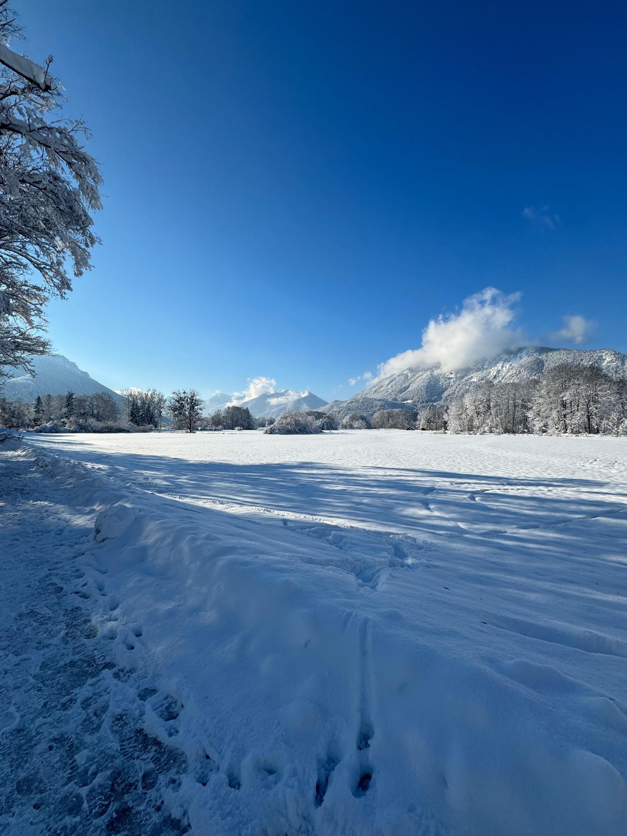
Beautiful shady hike via the Hofkapelle to the valley station of the Hochplattenbahn (starting point for a trip to the Staffn-Alm and for further hikes).


Beautiful shady hike via the Hofkapelle to the valley station of the Hochplattenbahn (starting point for a trip to the Staffn-Alm and for further hikes).
Tour description:
The tour starts at the Marquartstein town hall square. Between the Catholic church and the savings bank, the hike leads past the secondary school to the Wurzerweg. We follow the hiking sign in the direction of the valley station of the Hochplattenbahn to the right and up into the forest. Once we reach the top, we follow the sign in the direction of the valley station and continue the hike in this direction at the Hofkapelle. The tranquil high-altitude trail opens up the view of the former Niedernfels Castle and leads us over the so-called "Spider" to the right to the valley station of the Hochplattenbahn. Further hikes are possible from here or you can also take the chairlift to the Staffn-Alm. But we want to go back to Marquartstein, but this time via a different route. This takes us back a short distance to the Spider, but from there we follow the description on the hiking signs in the direction of the water treading pool, Vogllug and Chiemgau Clinic. Above the water treading pool, we continue in the direction of the Hofkapelle and following these signs we get back to the Hofkapelle. Here we can continue on the path we already know, but we can also follow the sign "Marquartstein via Feuchtbiotop Froschweiher" and we will soon be back at the starting point of the hike.
Responsible for the content: Achental Tourismus gKU