Long, demanding circular tour via Schnappenkriche, Staudacheralm from the north to the Hochgern summit. Descent to the south via Jochberg-Almen to Unterwössen and back via the high trail


Long, demanding circular tour via Schnappenkriche, Staudacheralm from the north to the Hochgern summit. Descent to the south via Jochberg-Almen to Unterwössen and back via the high trail
Tour description:
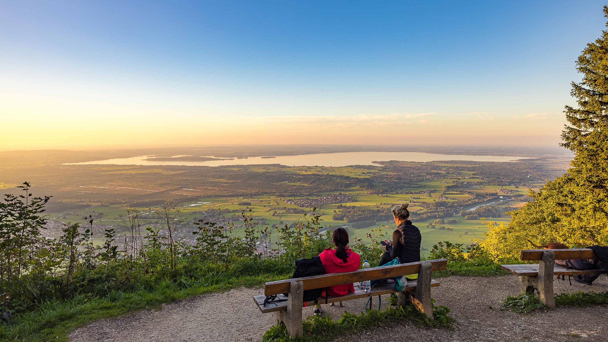
Round tour with beautiful views towards the lake and the Alps, alpine pastures and the Hochgern summit as the highest point. Refreshment options: Staudacheralm (*), Jochberg-Almen (*),(*) typical alpine snack during the alpine grazing season. Achental hiking badge checkpoints: Schnappenkirche, Staudacheralm, Hochgern, Jochberg-Alm. Special features: Schnappenkirche, Hochgernkapelle. Description: Long and demanding tour: From the hiking car park we walk towards Schnappenkirche, after 200 meters turn left onto the forest road and then after another 200 meters turn left onto Schnappenweg according to the sign at the sign location at the "feeding". Along this path we come to a junction that leads left to "Windeck", we continue the hike straight on along the path to Schnappenkirche. At Scherbenstein the path makes a steep left turn. The comfortable, constantly slightly ascending path soon emerges from the forest and we can already enjoy the view of the upper Achental and the Chiemgau mountains. Below the Predigtstein, the path mostly leads back through the forest to the historic Schnappenkirche. After enjoying the view of the Chiemsee and the Chiemgau Alpine foothills, the path continues slightly uphill just above the chapel on a beautiful path and finally a short way downhill to the Staudacher Alm. High above are the rocks of the Zwölferspitz. From here, head southeast across the alpine pasture, after a few hundred meters follow the signpost "Hochgern". At the top you can see a (seemingly) ridge. This can be reached via the increasingly steep Steinackersteig (be careful in wet and snowy conditions, danger of falls and avalanches!). You reach a large hollow, the path to the already visible summit runs to the left when you enter the hollow (signpost) almost in a straight line to the summit. After the summit break, our circular tour briefly leads back along the previous summit climb in a southwesterly direction, then at the signposts turn left to the south towards Grundbach and Bischofsfelln alpine pastures and down the steep, meadow-lined path in serpentines. Staying straight south, leaving the Grundbach alpine pasture on the left, the route continues south at almost the same altitude on the east side of the Hochsattel to the Jochberg alpine pastures. Below the alpine pastures, turning right off the forest road, the route goes through the forest down into the Kaltenbach valley to Unterwössen. From the hiking car park, first walk a short distance (200 meters) on the road towards the center of the town. Then, following the signposts, the route now takes you comfortably above the Achental on the Richard Strauss high trail northwards back to the starting point in Marquartstein.
Responsible for the content: Achental Tourismus gKU