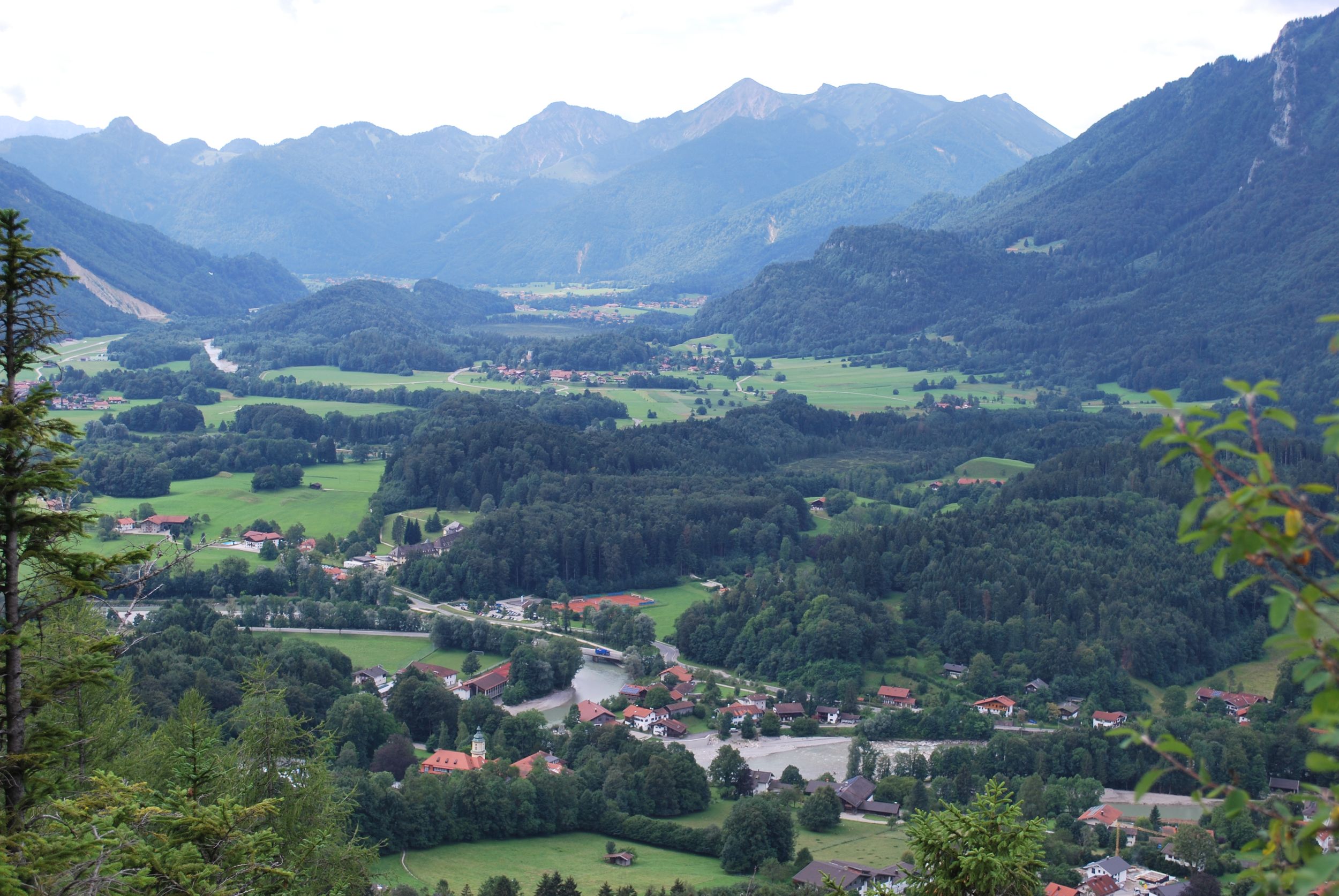
Valley hike from Marquartstein to Unterwössen and back.


Valley hike from Marquartstein to Unterwössen and back.
Tour description:
From the car park at the town hall in Marquartstein we follow the B307 towards Reit im Winkl, then we walk along the B305 over the bridge towards Unterwössen. We walk along the B305 next to the main road, then turn right and go downhill a little but still follow the B305. At the next signpost we turn right onto the Achendamm circular trail over a stream and continue next to the Tiroler Ache through the sparse trees. At the next signpost we follow the circular trail towards the centre of Unterwössen along the Wössner Bach. To the right the view opens up to wide open spaces and the back of the Hochplatte. We reach Unterwössen, cross the B305 and continue walking towards the Richard Strauss high trail, slightly uphill past meadows. When we arrive at the Kapellenweg there are signs again pointing to the high trail, but we do not choose the slightly shorter route "via Altweg" but walk towards Grub-Point and at the first fork turn left along the ridge. At the next signpost, we turn sharply left towards the Richard Strauss high trail. The wide forest path climbs slightly and we enter a high forest, walking past the turnoff to Neugrabenalm and Grub-Point. Shortly after the turnoff, a path leads to Berghof Altweg, but we stay on the high trail. We can see the Hochplatte, somewhat obscured by the sparse trees. As we continue on, we also see the Berghof Schlecht guesthouse below the high trail. At the next turnoff, which leads right to Grub-Point and Neugrabenalm, we turn left onto a forest path that leads downhill to a fork. We walk straight on, slightly uphill, and see the Berghof Schlecht guesthouse in front of us. From here, we walk downhill, enter the forest, and eventually reach the B305. Turning right, we reach the next signpost, which shows us the way to the underpass that runs beneath the B305. Then we continue to the right and after a short time we are back at the start of the hike, the starting point at the town hall in Marquartstein
Responsible for the content: Achental Tourismus gKU