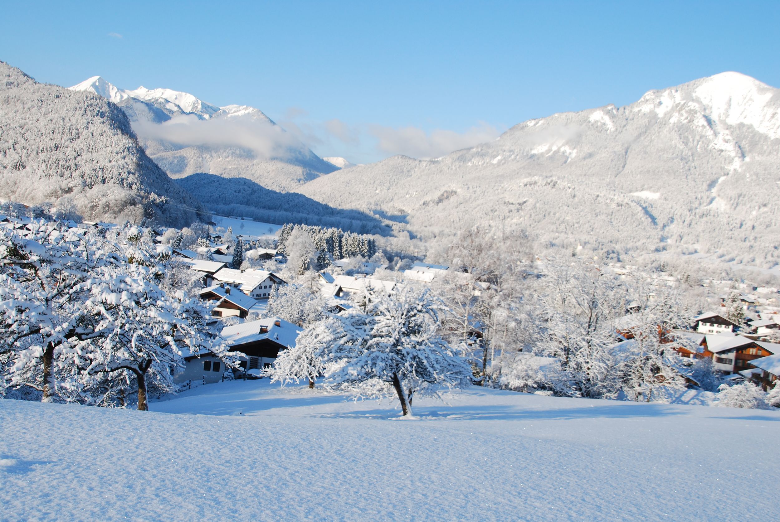
This short winter hike leads from the town centre in Unterwössen along the Wössner Bach to the idyllically situated Wössner Lake.


This short winter hike leads from the town centre in Unterwössen along the Wössner Bach to the idyllically situated Wössner Lake.
Tour description:
The hike starts at the town hall in the center of Unterwössen. Turn right at the bridge behind the town hall. A narrow path leads along the gently babbling Wössner Bach through the climatic health resort. At the end of the path along the stream you come to the main road. Cross this and follow the path to the left to the idyllically situated Wössner See near the end of the town in the direction of Oberwössen. After a short walk around the lake, the Seestüberl invites you to stop for a break (please note the current opening times) before heading back to the town.
Responsible for the content: Achental Tourismus gKU