Beautiful hike over the Luftbodensteig to the Taubensee and over alpine pastures to Oberwössen.


Beautiful hike over the Luftbodensteig to the Taubensee and over alpine pastures to Oberwössen.
Tour description:
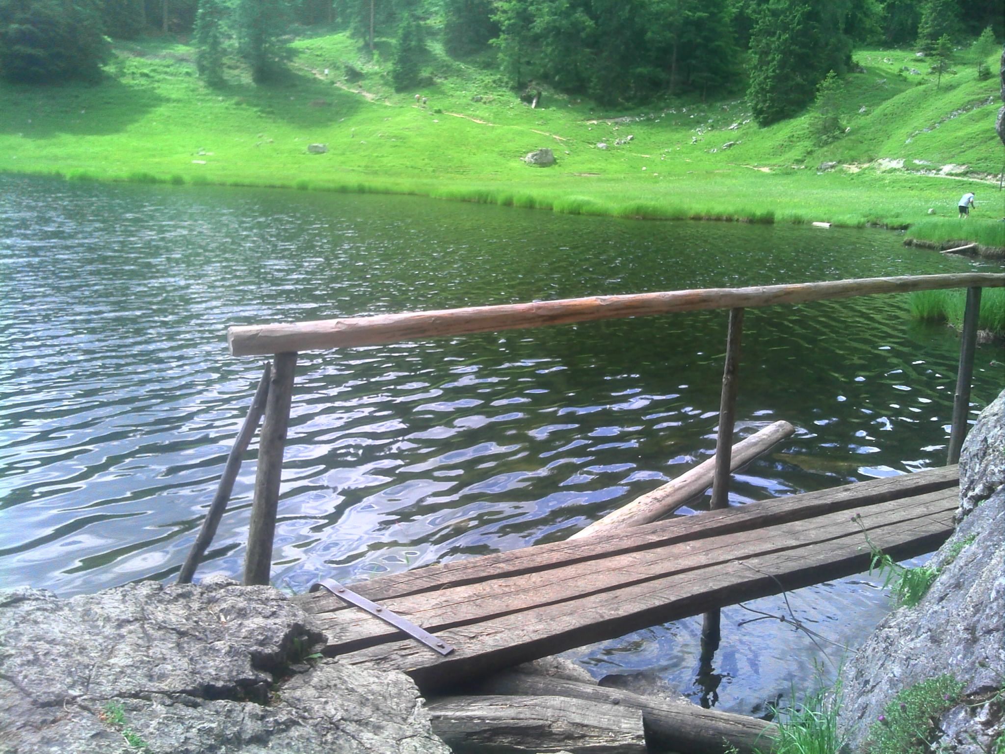
Mountain hikeRefreshment options: Taubenseehütte (*); Stoibenmöseralm (*) (*) typical alpine snacks, coffee and cake during the alpine grazing season (please note opening times)Achental hiking badge Checkpoints: Taubensee; AßbergalmSpecial features: beautiful, refreshing mountain lake with swimming facilities; rare crabs in the lake; bizarre rock holes on the lake shoreTip: to cool off, take your bathing suit and jump into the Taubensee Description:Description: Hinterwössen - Luftbodensteig - Taubensee - Sauermöseralm - Stoibenmöseralm - Aßbergalm - Erdtal hiking car park on the B305 From the hiking car park, follow path no. 9 along the Schlierbach, towards Taubensee. The Luftbodensteig takes you to the Luftbodensattel. From here, turn right down to the Taubensee. Walk around this and reach the path to the Stoibenmöseralm on the opposite side. Here you follow path no. 9 to the Aßbergalm and further down the forest road back to Oberwössen.
Responsible for the content: Achental Tourismus gKU