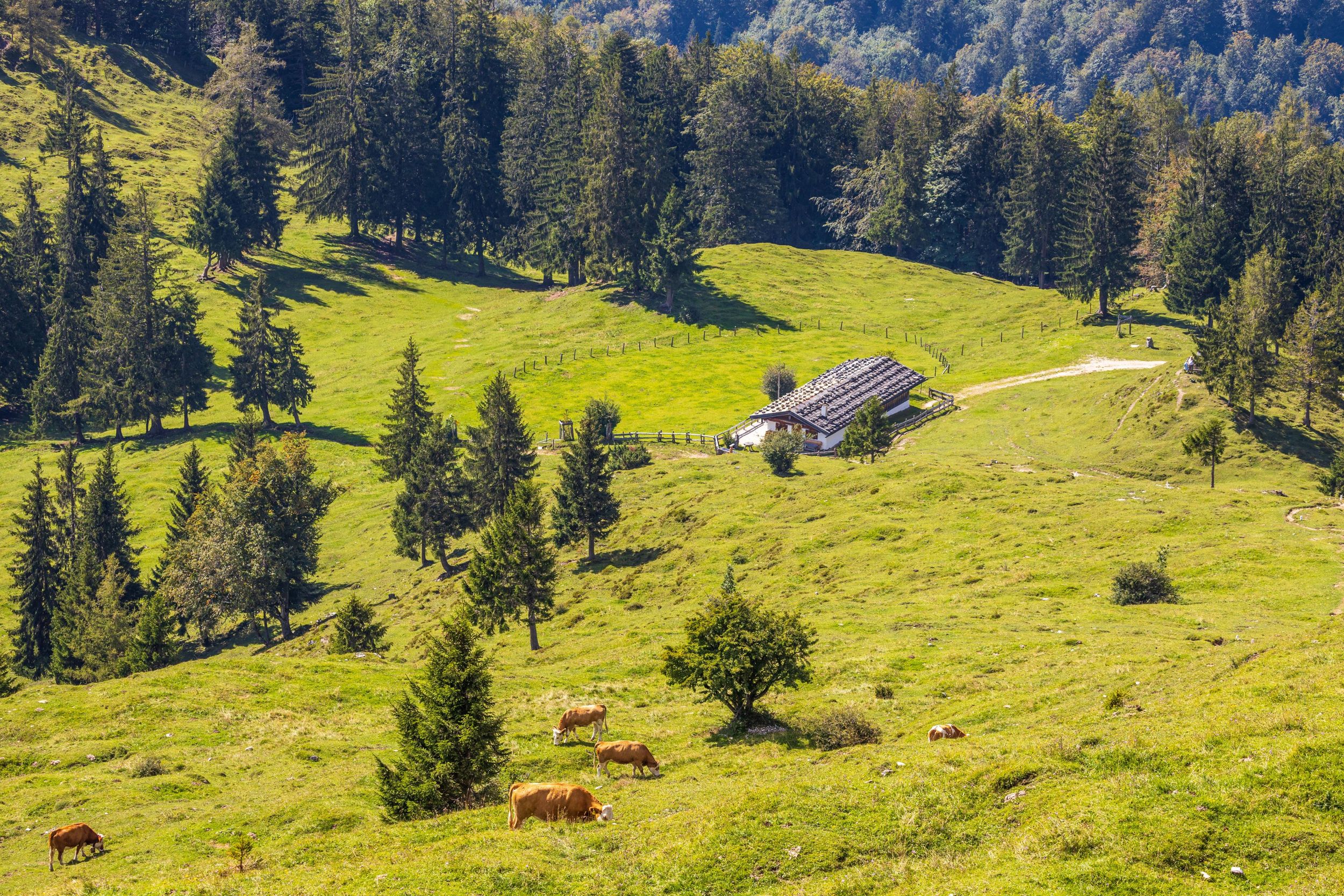
Alpine hike to various alpine pastures in the Chiemgau Alps - Oberauerbrunstalm, Piesenhausener Hochalm, Sonnenalm, Steinbergalmen


Alpine hike to various alpine pastures in the Chiemgau Alps - Oberauerbrunstalm, Piesenhausener Hochalm, Sonnenalm, Steinbergalmen
Tour description:
Alpine circular hike. Refreshment options: Oberauerbrunstalm (*); Piesenhausener Hochalm (*); Sonnenalm (*) typical alpine snacsk during the alpine grazing season (please note opening times). Achental hiking badge checkpoints: Oberauerbrunstalm; Steinlingalm. Special features: Many different alpine pastures; Oimnussn (= alpine nuts; Bavarian lard pastries) on the Oberauerbrunstalm; marmots on the alpine pastures of the Steinbergalmen. Description: The moderately difficult mountain hike starts at the Dalsen hiking car park in Mühlau in the Schleching valley. From there, follow the signs to Oberauerbrunst, initially along a service road to the hamlet of Oberauer Hof, the owner of the Oberauerbrunstalm. Turn left before the game reserve. The path which becomes narrower, now leads steadily uphill through the forest. After about half a kilometer you come to a forest road, which you follow to the right for about 40 meters, then turn left again onto the next path, which leads in serpentines up to the Oberauerbrunstalm. On the way, it is worth taking a short detour to the signposted "Vogelschau" lookout point, which offers a wonderful view over the Achental valley with the mountaineering village of Schleching. A bench invites you to take a short rest before continuing up through the mountain forest. Soon you reach the extensive alpine pasture of the Oberauerbrunst. From here the alpine hut is already within sight. In the summer months, the alpine pasture is managed by the friendly senior farmer, dairymaid Mare, and provides hikers and mountaineers with delicious snacks and delicious "Oimnussn" (= alpine nuts; Bavarian specialty; lard pastries with powdered sugar) at weekends and on public holidays. The further ascent past the alpine pasture leads to the Brunst-Spitz - another very worthwhile stop for a view of the surrounding mountain landscape from the Wilder Kaiser to the Berchtesgaden Alps. The path continues back into the forest until you reach a fork in the path. From there, turn left towards the Piesenhausener Hochalm and follow the path until you reach further signs of the same name. Past the mountain rescue hut, the Piesenhausener Hochalm, which is open to the public, and the rocky peaks of the Kampenwand summit are already in sight. After another stop at the Piesenhausener Hochalm, the path continues at the foot of the Kampenwand rocks to the Sonnenalm. The descent is again on a path to the Steinbergalmen - branching off to the left from the Sonnenalm. The last stretch of the path back to the hiking car park is on the forest road.
Responsible for the content: Achental Tourismus gKU